


8,7 km | 9,7 km-effort
Saint-Amand-les-Eaux : Entdecken Sie die besten Touren : 1 zu fuß und 21 wandern. Alle diese Touren, Trails, Routen und Outdoor-Aktivitäten sind in unseren SityTrail-Apps für Smartphones und Tablets verfügbar.
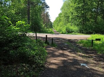
Wandern


Wandern

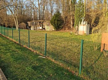
Wandern

Wandern

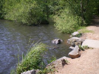
Wandern
Wandern
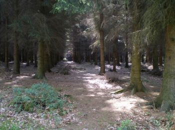
Wandern
Wandern
Wandern
• CAF St Amand

Wandern
Wandern
Wandern
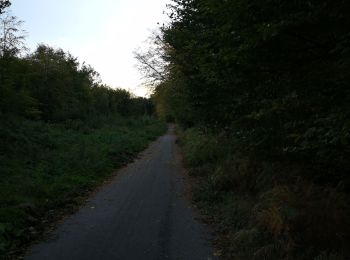
• Rdv parking Nd amour. rejoindre drève des insurgés par ancienne route et ancienne voie tram, aller jusqu'à drève de v...
Wandern
Wandern
Wandern
Wandern
Wandern

Zu Fuß
Wandern
Wandern
20 Angezeigte Touren bei 22
Kostenlosegpshiking-Anwendung
 SityTrail
IGN / Geografische Institute
SityTrail World
Die Welt öffnet sich für Sie