


13,1 km | 16,1 km-effort
Guyancourt : Entdecken Sie die besten Touren : 1 zu fuß, 61 wandern, 10 nordic walking, 7 laufen und 2 pfad. Alle diese Touren, Trails, Routen und Outdoor-Aktivitäten sind in unseren SityTrail-Apps für Smartphones und Tablets verfügbar.

Wandern


Wandern
Wandern
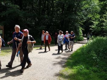
Wandern
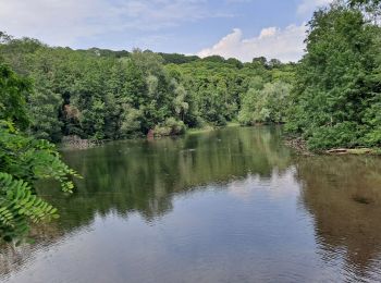
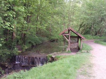
• Vallée de la Bièvre : Etang de la Geneste -Buc et ses arcades - Bois des Gonards et du Cerf-Volant.
Wandern

Laufen
Wandern

Zu Fuß
Laufen
Wandern

Wandern
Wandern
Wandern
Wandern
Wandern
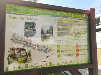
• depart etang de la miniere
Wandern
Wandern
Wandern
Wandern
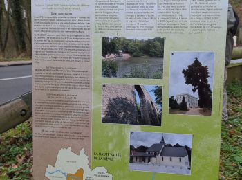
• Ce tracé emprunte les 35 km du cours de Bièvre visible ou historique.
Wandern
20 Angezeigte Touren bei 81
Kostenlosegpshiking-Anwendung
 SityTrail
IGN / Geografische Institute
SityTrail World
Die Welt öffnet sich für Sie