


14 km | 16,5 km-effort
Belgium : Entdecken Sie die 22 besten Wander- und Radtouren. Unser Katalog, der komplett von Wanderern und Tourenradlern kuratiert wurde, ist voll von wunderschönen Landschaften, die nur darauf warten, erkundet zu werden. Downloaden Sie diese Routen in SityTrail, unserer kostenlosen gps-Wander-App, die für Android und iOS verfügbar ist.
Kanufahren - Kajakfahren


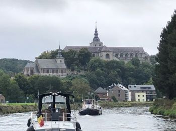
Motorboot

Kanufahren - Kajakfahren
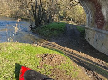
Kanufahren - Kajakfahren
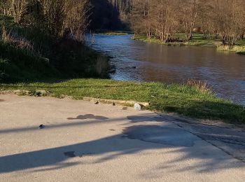
Kanufahren - Kajakfahren
Kanufahren - Kajakfahren
Kanufahren - Kajakfahren
Kanufahren - Kajakfahren
Tauchen
Kanufahren - Kajakfahren
• La vallée de la Semois, vous connaissez ? Je vous emmène aujourd’hui à la découverte de sa partie namuroise. Le but d...
Segelboot
Kanufahren - Kajakfahren
Kanufahren - Kajakfahren
Kanufahren - Kajakfahren
Kanufahren - Kajakfahren
Kanufahren - Kajakfahren
Schwimmen
Motorboot
Kanufahren - Kajakfahren
Kanufahren - Kajakfahren
20 Angezeigte Touren bei 22
Kostenlosegpshiking-Anwendung
 SityTrail
IGN / Geografische Institute
SityTrail World
Die Welt öffnet sich für Sie