


13,2 km | 17,3 km-effort
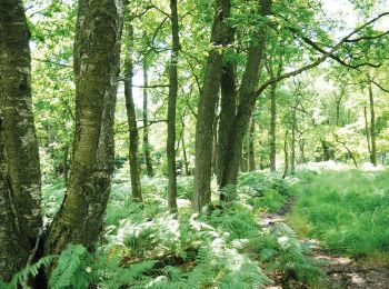
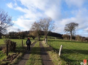
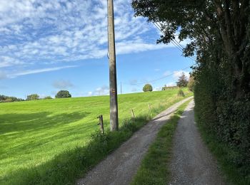
Raeren : Entdecken Sie die besten Touren : 137 zu Fuß, 10 mit dem Fahrrad oder Mountainbike und 1 auf dem Pferderücken. Alle diese Touren, Trails, Routen und Outdoor-Aktivitäten sind in unseren SityTrail-Apps für Smartphones und Tablets verfügbar.
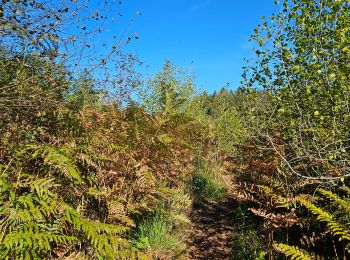
Wandern


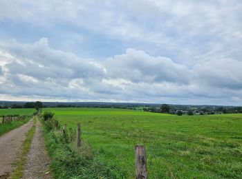
Wandern
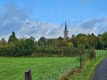
Wandern
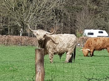
Wandern
Wandern
Wandern

Wandern
Wandern
Wandern
Wandern
Zu Fuß
• uncomplete Symbol: weiß-gelb-weiß
Zu Fuß
• Trail created by Gemeinde Raeren - Aves Ostkantone. Symbol: Lachender Marder mit Rucksack
Zu Fuß
• unvollständig; Zuordnung unklar - mehrere Wege durchmischt; name-Tag vorläufig
Zu Fuß
• Bezeichnung unbekannt
Zu Fuß
• Symbol: Liegende rote Raute auf weißem Grund
Zu Fuß
• Trail created by Stadt Aachen, Fachbereich Umwelt und Fachbereich Stadtentwicklung und Verkehrsanlagen. Website: h...
Zu Fuß
• Trail created by Stadt Aachen, Fachbereich Umwelt und Fachbereich Stadtentwicklung und Verkehrsanlagen. Website: h...
Wandern
Wandern
Wandern
20 Angezeigte Touren bei 152
 SityTrail