


9,2 km | 12,5 km-effort
Valbroye : Entdecken Sie die besten Touren : 3 zu Fuß und 5 mit dem Fahrrad oder Mountainbike. Alle diese Touren, Trails, Routen und Outdoor-Aktivitäten sind in unseren SityTrail-Apps für Smartphones und Tablets verfügbar.
Wandern


• De Granges Coumin Surpierre et Villeneuve
Fahrrad
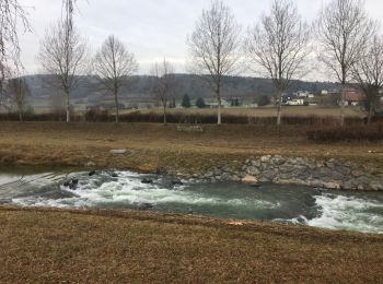
• Tout au long de la Broye

Fahrrad
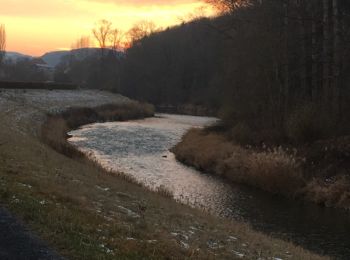
• Tout au long de la Broye
Rennrad
Fahrrad
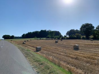
• Sur la rive droite de la Broye puis passerelle Anne-Marie Brit Ménières Sassel et Granges

Fahrrad
• Sur la rive droite de la Broye puis passerelle Anne-Marie Brit Ménières Sassel et Granges

Wandern
•

Wandern
8 Angezeigte Touren bei 8
Kostenlosegpshiking-Anwendung
 SityTrail
IGN / Geografische Institute
SityTrail World
Die Welt öffnet sich für Sie