


13,1 km | 24 km-effort
Jarsy : Entdecken Sie die besten Touren : 71 zu Fuß und 1 mit dem Fahrrad oder Mountainbike. Alle diese Touren, Trails, Routen und Outdoor-Aktivitäten sind in unseren SityTrail-Apps für Smartphones und Tablets verfügbar.
Wandern


Wandern
Wandern
Wandern
Wandern
Wandern
Wandern
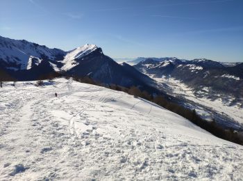
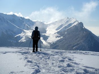
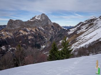
• 15 janvier 2018 Rando-raquette assez douce. Attention quelques points avalancheux. Éventuellement à faire dans l'autr...
Wandern
Wandern
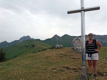
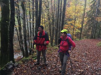
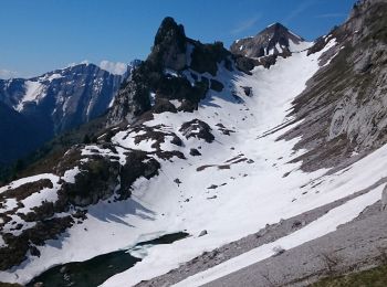
• Somptueux paysage sur les montagnes.
Wandern
Wandern
Wandern
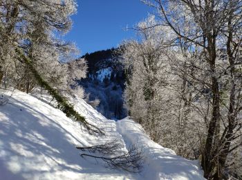
Schneeschuhwandern
Wandern
Wandern

Wandern
Schneeschuhwandern

Wandern
Wandern
Wandern
20 Angezeigte Touren bei 81
Kostenlosegpshiking-Anwendung
 SityTrail
IGN / Geografische Institute
SityTrail World
Die Welt öffnet sich für Sie