


12,7 km | 23 km-effort
Vacheresse : Entdecken Sie die besten Touren : 22 zu Fuß und 2 mit dem Fahrrad oder Mountainbike. Alle diese Touren, Trails, Routen und Outdoor-Aktivitäten sind in unseren SityTrail-Apps für Smartphones und Tablets verfügbar.
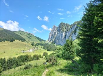
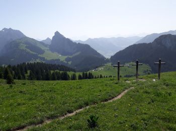
Wandern


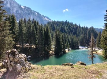
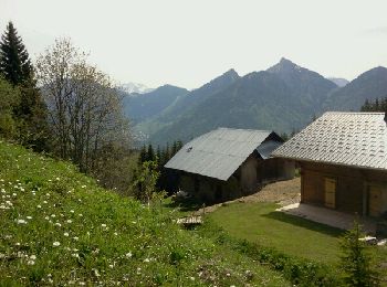
Wandern
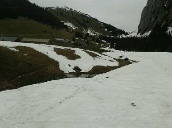
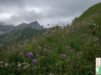
Wandern

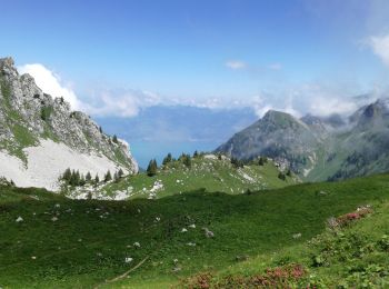
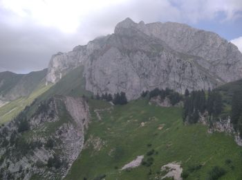
Wandern
Wandern
Wandern
Wandern
• Départ à Leschaux(Vacheresse) jusqu'au " Mont Baron " en passant par " Le Boeuf " . Puis on continue vers " Chevenoz...

Wandern
Wandern

Wandern
Wandern

Mountainbike
Wandern

Andere Aktivitäten
Wandern
Elektrofahrrad
Zu Fuß
Wandern
Wandern
Wandern
20 Angezeigte Touren bei 28
Kostenlosegpshiking-Anwendung
 SityTrail
IGN / Geografische Institute
SityTrail World
Die Welt öffnet sich für Sie