


30 km | 43 km-effort
Ramonchamp : Entdecken Sie die besten Touren : 39 zu Fuß und 13 mit dem Fahrrad oder Mountainbike. Alle diese Touren, Trails, Routen und Outdoor-Aktivitäten sind in unseren SityTrail-Apps für Smartphones und Tablets verfügbar.
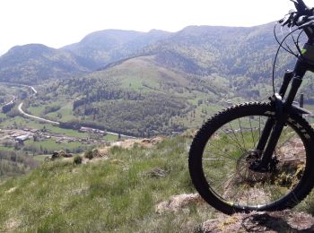
Mountainbike


Mountainbike
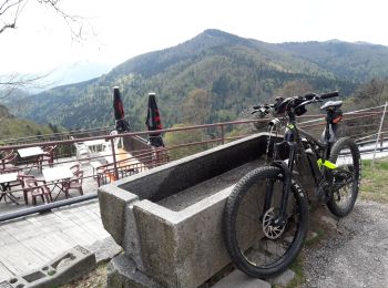
Elektrofahrrad
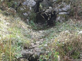
Wandern
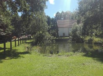
Wandern
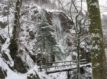
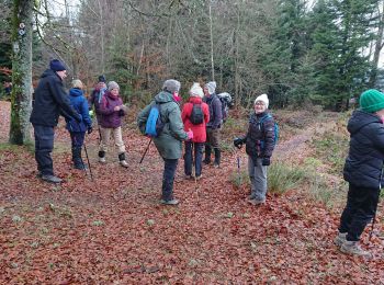
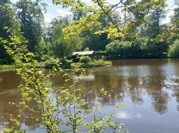
• 2017 07 29 Ballade à Ramonchamp avec Marie beau temps - 10h35 à 16h45 soit 6h10 compris 30mn pause repas. raté le sen...

Wandern
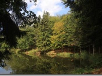
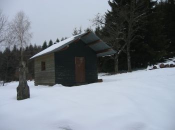
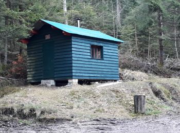
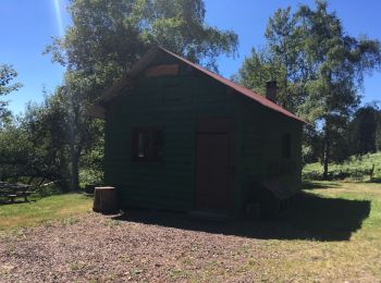
• Douze kilomètres de randonnée vers le Col de Morbieux en passant par la Montagne des Rochottes, la Broche Joly, les ...
Wandern
Schneeschuhwandern
Wandern
Wandern
Wandern
Nordic Walking
Wandern
Wandern
Wandern
Wandern

Elektrofahrrad
Elektrofahrrad

Wandern

Wandern
20 Angezeigte Touren bei 53
Kostenlosegpshiking-Anwendung
 SityTrail
IGN / Geografische Institute
SityTrail World
Die Welt öffnet sich für Sie