


22 km | 36 km-effort
Tende : Entdecken Sie die besten Touren : 240 zu Fuß und 23 mit dem Fahrrad oder Mountainbike. Alle diese Touren, Trails, Routen und Outdoor-Aktivitäten sind in unseren SityTrail-Apps für Smartphones und Tablets verfügbar.
Zu Fuß


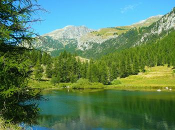
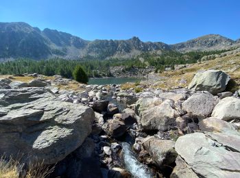
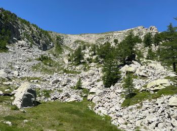
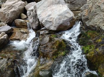
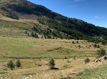
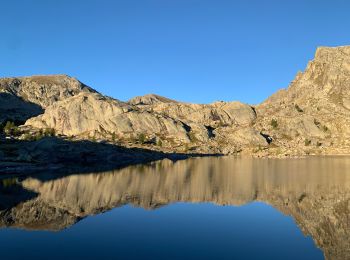
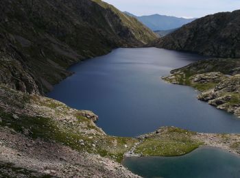
• Randonnée pédestre - Haut pays : Au départ du lac des Mesches (1 380 mètres) Website: https://randoxygene.departemen...
Zu Fuß
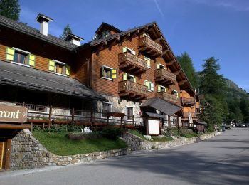
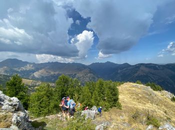
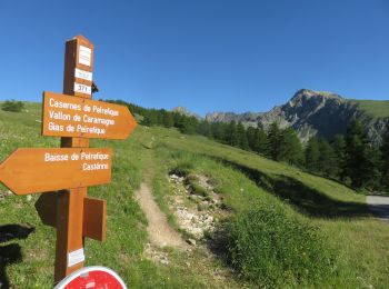
• Randonnée pédestre - Haut pays : Au départ de Castérino (1 550 mètres) Website: https://randoxygene.departement06.fr...
Zu Fuß
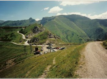
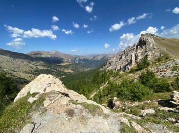
• Randonnée pédestre - Haut pays : Au départ du col de Tende (1 871 mètres) Website: https://randoxygene.departement06...
Zu Fuß
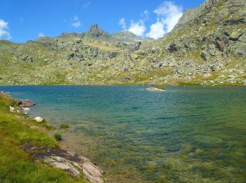
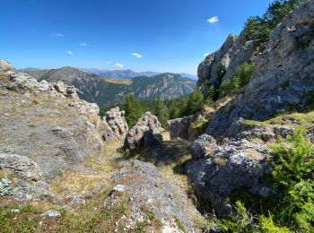
• Randonnée pédestre - Haut pays : Au départ de Saint-Grat, parking du Countet (1 690 mètres) Website: https://randoxy...

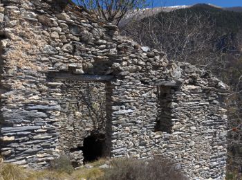
Wandern
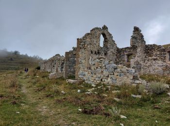
Wandern
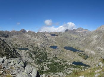
Wandern
Wandern
Wandern
Wandern
Wandern
Wandern
Wandern
Wandern
Wandern
Wandern
Wandern
Wandern
Wandern
Schneeschuhwandern
20 Angezeigte Touren bei 291
Kostenlosegpshiking-Anwendung
 SityTrail
IGN / Geografische Institute
SityTrail World
Die Welt öffnet sich für Sie