


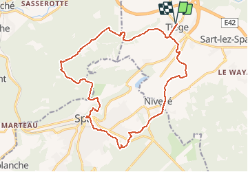

14,1 km | 18,7 km-effort


Plus vî, plus sot


Kostenlosegpshiking-Anwendung
 SityTrail
IGN / Geografische Institute
SityTrail World
Die Welt öffnet sich für Sie
Tour Mountainbike von 18,4 km verfügbar auf Wallonien, Lüttich, Jalhay. Diese Tour wird von Yeyette VTT team vorgeschlagen.
Un peu court, jeune homme. Laurent nous croyait en chaises roulantes, ou quoi ?


Wandern

Wandern

Wandern

Wandern

Fahrrad
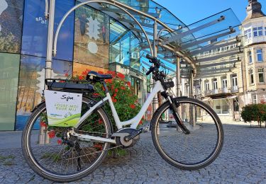
Elektrofahrrad

Wandern
Wandern
Zu Fuß