


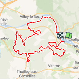

18,3 km | 23 km-effort


Benutzer


Kostenlosegpshiking-Anwendung
 SityTrail
IGN / Geografische Institute
SityTrail World
Die Welt öffnet sich für Sie
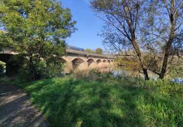
Tour Mountainbike von 51 km verfügbar auf Großer Osten, Mörthe und Mosel, Sexey-aux-Forges. Diese Tour wird von tracegps vorgeschlagen.
Magnifique randonnée organisé par FOYER RURAL VTT SEXEY AUX FORGES le 03 mai 2009 52 Kms que dans les bois sur de magnifiques chemins et sentiers.

Wandern
Wandern
Wandern
Wandern
Wandern
Wandern
Wandern
Wandern
Wandern