


12,1 km | 15,3 km-effort

Benutzer


Kostenlosegpshiking-Anwendung
 SityTrail
IGN / Geografische Institute
SityTrail World
Die Welt öffnet sich für Sie
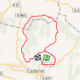
Tour Mountainbike von 9,1 km verfügbar auf Provence-Alpes-Côte d'Azur, Vaucluse, Cadenet. Diese Tour wird von tracegps vorgeschlagen.
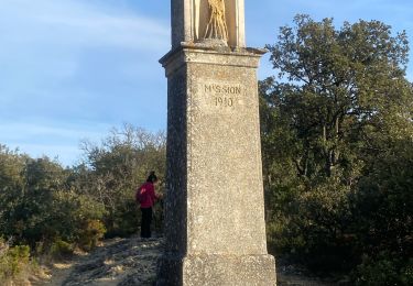
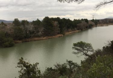
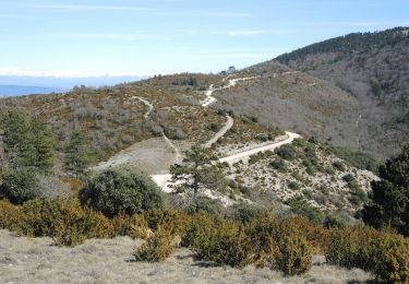
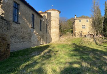
Ce circuit, très facile, vous mènera d’abord vers le site des ruines du château de Cadenet surplombant le village. Vous ferez ensuite le tour du petit massif des Gardis sur de très beaux sentiers : superbes vues sur Lourmarin et le Luberon en perspective. Retrouvez plus de précisions sur le site de VTOPO.com

Wandern

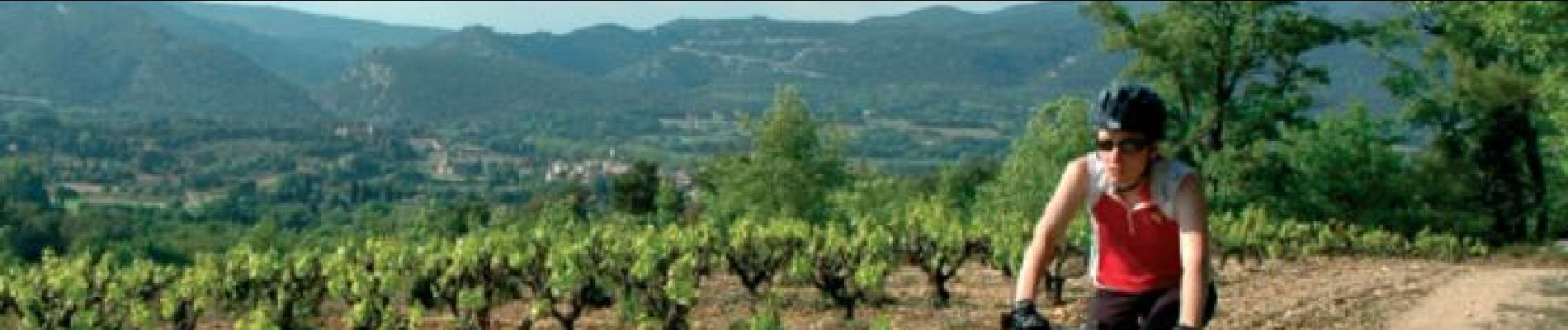
Mountainbike

Wandern
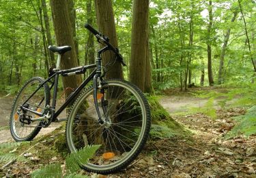
Mountainbike

Wandern
Wandern
Wandern
Wandern
Wandern
très bien