


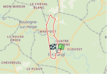

11,5 km | 13,7 km-effort


Benutzer


Kostenlosegpshiking-Anwendung
 SityTrail
IGN / Geografische Institute
SityTrail World
Die Welt öffnet sich für Sie
Tour Wandern von 9 km verfügbar auf Nordfrankreich, Nord, Étrœungt. Diese Tour wird von tracegps vorgeschlagen.
Circuit proposé par le Syndicat d’Initiative de Etroeungt. Départ de l’église d’Etroeungt. Ce circuit, empruntant l'ancienne voie romaine de Bavay à Reims, offre de très beaux points de vue. Retrouvez cette randonnée sur le site du Syndicat d’Initiative de Etroeungt Ce circuit a été numérisé par les randonneurs du CODEPEM. Merci à Jean-Marie.
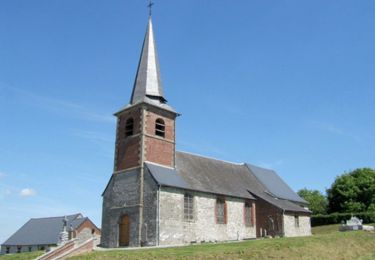
 - Photo 1")
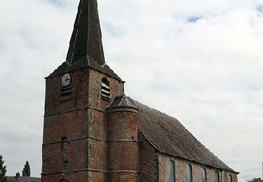
 - Photo 2")
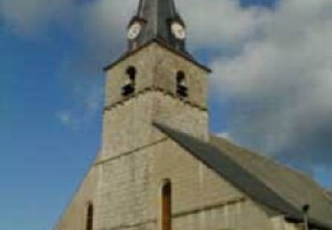
 - Photo 3")

Wandern
Wandern
Wandern
Wandern

Wandern
Wandern
Wandern
Wandern