


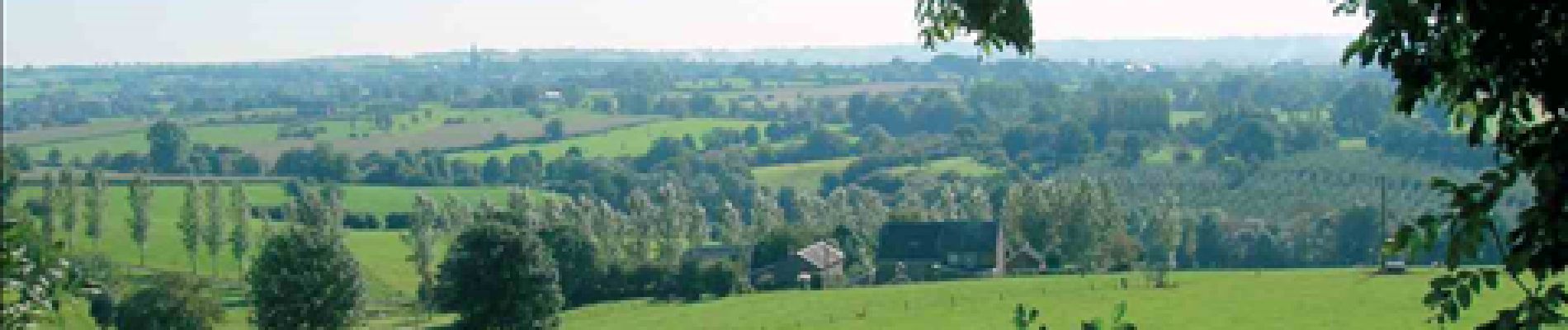
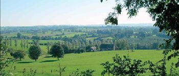
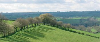
RB-Lg-04 - À travers le bocage aubelois

GR Rando (plus commercialisé)
Randonnez sur et autour des GR ® wallons (Sentiers de Grande Randonnée). PRO


5h28
Schwierigkeit : Medium

Kostenlosegpshiking-Anwendung
 SityTrail
IGN / Geografische Institute
SityTrail Plus
Die Welt öffnet sich für Sie
Über SityTrail
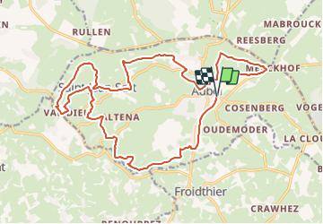
Tour Wandern von 21 km verfügbar auf Wallonien, Lüttich, Aubel. Diese Tour wird von GR Rando (plus commercialisé) vorgeschlagen.
Beschreibung
(Aubel, Messiter, Val-Dieu, Saint-Jean-Sart, Creft, Hellestrop, Aubel)
Cartographie et documentation
Carte IGN au 1 : 20 000, 42/3-4 « Dalhem – Herve ».
Topo-guide du GR 563 « Tour du Pays de Herve ».
Où se désaltérer et se restaurer.
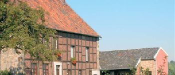
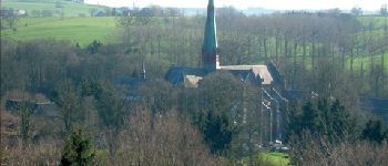
Nous avons déjà signalé les possibilités qu’offrait Val-Dieu.
À Aubel, vous trouverez un choix beaucoup plus varié de cafés et de restaurants. Le « Vieil Aubel », dont il a été question ci-dessus, sort du lot par son attrait architectural.
Foto-Galerie


POIs

Ort
Kommentare
pour une première utilisation...l'app...semble conviviale...à tester plus longuement...
Sehr schoene route