


7,9 km | 9,4 km-effort


Benutzer


Kostenlosegpshiking-Anwendung
 SityTrail
IGN / Geografische Institute
SityTrail World
Die Welt öffnet sich für Sie
Tour Wandern von 10,3 km verfügbar auf Großer Osten, Mörthe und Mosel, Villey-Saint-Étienne. Diese Tour wird von joelclaudel vorgeschlagen.
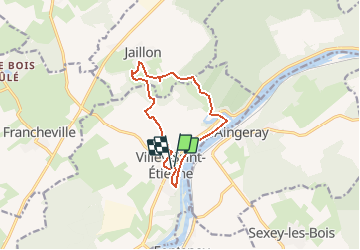
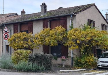
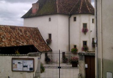
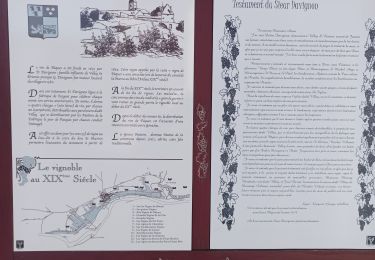
Circuit : bord de la Moselle, plan d'eau du Terrouin, montée au village de Jaillon et retour à Villey St Etienne (église)
Zu Fuß

Zu Fuß
Wandern

Wandern
Wandern
Wandern
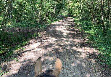
Reiten
Zu Fuß
Wandern