


8,7 km | 10,2 km-effort


Benutzer


Kostenlosegpshiking-Anwendung
 SityTrail
IGN / Geografische Institute
SityTrail World
Die Welt öffnet sich für Sie
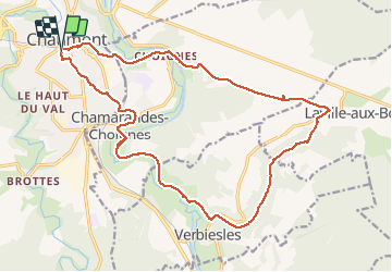
Tour Wandern von 21 km verfügbar auf Großer Osten, Haute-Marne, Chaumont. Diese Tour wird von janussity vorgeschlagen.
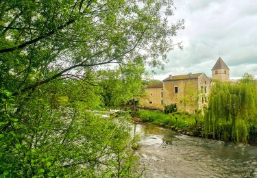
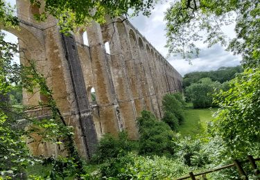
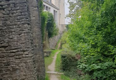
Rando par beau temps printanier avec un peu de vent.Descente vers Chamarandes, canal, Verbiesles, chemin Vieux Val, Ville aux bois, Choignes et Chaumont centre.
Variée : 20,5 km , 385m dénivelé .


Wandern

Mountainbike
Wandern
Mountainbike
Mountainbike
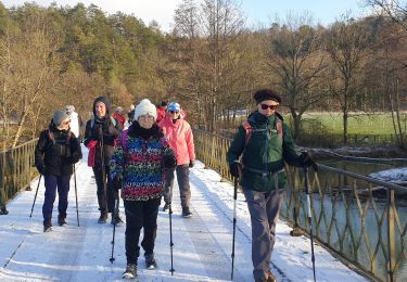
Nordic Walking

Wandern
Pfad