


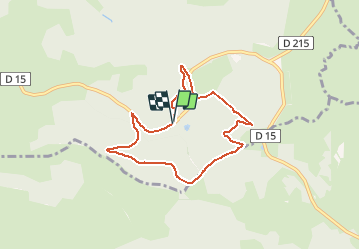

11 km | 15,4 km-effort


Benutzer


Kostenlosegpshiking-Anwendung
 SityTrail
IGN / Geografische Institute
SityTrail World
Die Welt öffnet sich für Sie
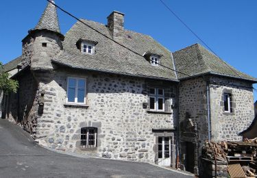
Tour Wandern von 7,1 km verfügbar auf Okzitanien, Aveyron, Laguiole. Diese Tour wird von neitag61 vorgeschlagen.
Passage impossible du ruisseau au Km 6 en période humide
possibilité de descendre par les pistes au km 4.5 pour rejoindre le départ
Wandern

Wandern

Wandern
Wandern

Wandern

Wandern
Zu Fuß
Schneeschuhwandern
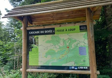
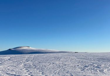
uniquement en été