


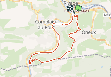
comblain-au-pont, pont de sçay . oneux . sur lawé . retour le long de l ourthe

stef789
Benutzer GUIDE

Länge
8,5 km

Maximale Höhe
240 m

Positive Höhendifferenz
169 m
Km-Effort
10,8 km

Min. Höhe
98 m

Negative Höhendifferenz
177 m
Boucle
Ja
Erstellungsdatum :
2020-11-25 13:35:38.164
Letzte Änderung :
2020-11-25 16:16:41.985
2h40
Schwierigkeit : Sehr leicht

Kostenlosegpshiking-Anwendung
 SityTrail
IGN / Geografische Institute
SityTrail Plus
Die Welt öffnet sich für Sie
Über SityTrail
Tour Wandern von 8,5 km verfügbar auf Wallonien, Lüttich, Comblain-au-Pont. Diese Tour wird von stef789 vorgeschlagen.
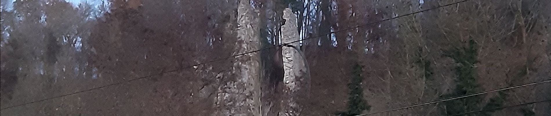
Foto-Galerie


22 Fotos insgesamt. Klicken Sie auf ein Foto, um sie alle in der Galerie zu sehen.
Ort
Land:
Belgium
Region :
Wallonien
Abteilung/Provinz :
Lüttich
Kommune :
Comblain-au-Pont
Standort:
Comblain-au-Pont
Gehen Sie:(Dec)
Gehen Sie:(UTM)
683793 ; 5595097 (31U) N.
Kommentare