


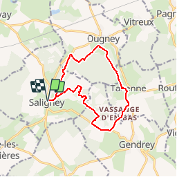

15 km | 19,3 km-effort

Benutzer


Kostenlosegpshiking-Anwendung
 SityTrail
IGN / Geografische Institute
SityTrail World
Die Welt öffnet sich für Sie
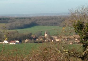
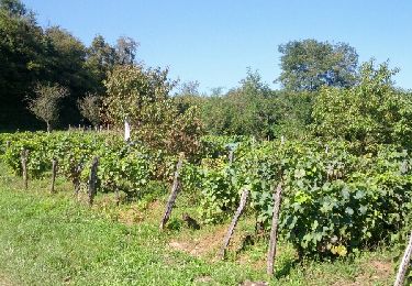
Tour Nordic Walking von 13,2 km verfügbar auf Burgund und Freigrafschaft, Jura, Saligney. Diese Tour wird von albert39 vorgeschlagen.
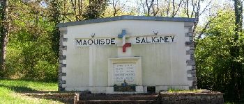
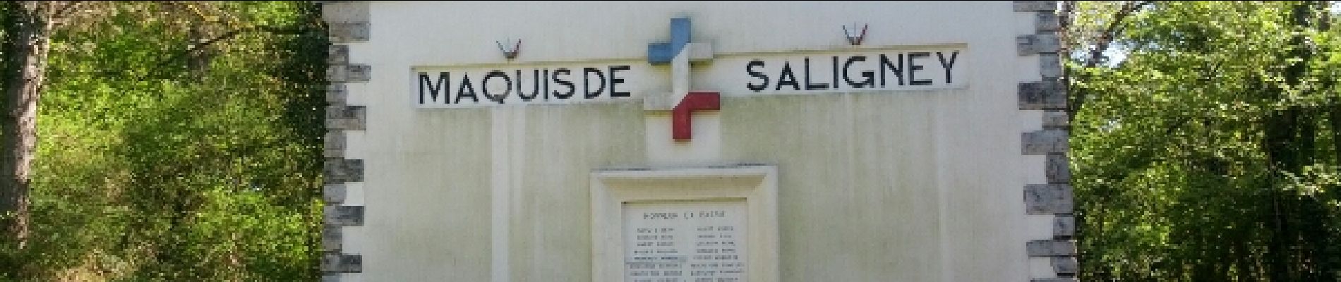
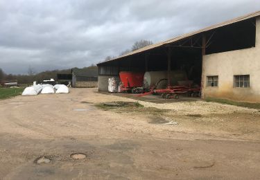
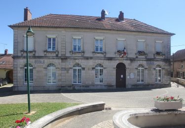
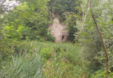
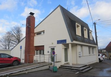
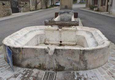
Marche nordique active. Circuit du Mont de Vassange. Départ parking derrière l'église, Le Belmont, Ougney (sur Roche), Taxenne, Vassange en Bas, D12, Bois de Fougeret, Monument au Maquis de Saligney, Fontaine de Berche, et retour parking.


Wandern
Nordic Walking
Zu Fuß
Zu Fuß
Wandern
Zu Fuß
Wandern
Wandern
Nordic Walking