


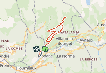

19,4 km | 33 km-effort

Benutzer


Kostenlosegpshiking-Anwendung
 SityTrail
IGN / Geografische Institute
SityTrail World
Die Welt öffnet sich für Sie
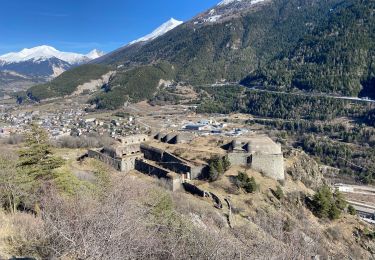
Tour Wandern von 14,9 km verfügbar auf Auvergne-Rhone-Alpen, Savoyen, Modane. Diese Tour wird von yves12 vorgeschlagen.
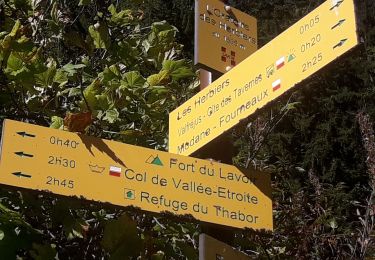
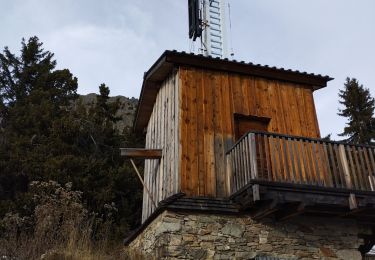
A amodon prendre le chemin normal, ne pas couper à travers le champ comme nous puisque cela n'amène rien juste un peu de galère


Wandern

Wandern
Zu Fuß

sport
Wandern
Wandern
Wandern
Wandern
Wandern