


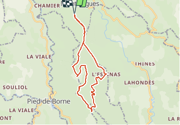

11,4 km | 14,4 km-effort

Benutzer


Kostenlosegpshiking-Anwendung
 SityTrail
IGN / Geografische Institute
SityTrail World
Die Welt öffnet sich für Sie
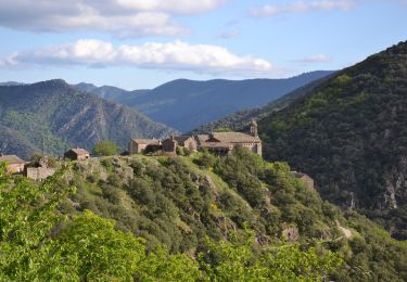
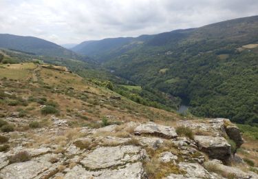
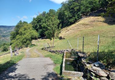
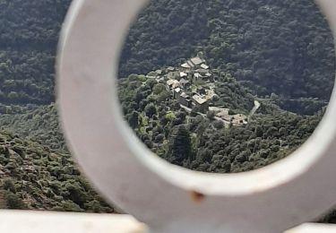
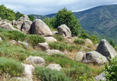
Tour Wandern von 16,1 km verfügbar auf Auvergne-Rhone-Alpen, Ardèche, Montselgues. Diese Tour wird von matrixe07 vorgeschlagen.
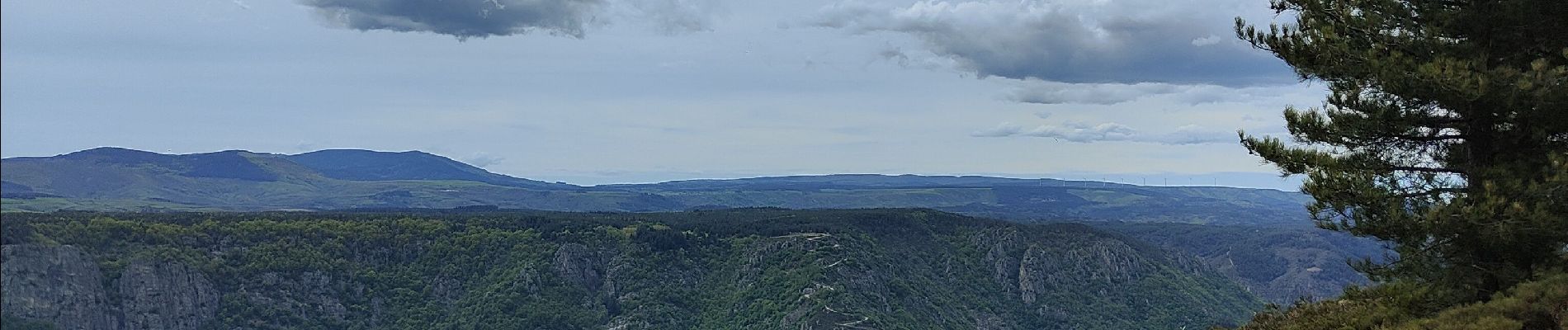
tour sur le plateau de 16 km très facile. Superbe point de vue sur l Isère et le mont Ventoux et de l autre vu sur le lac de ville fort et son plateau'


Wandern
Wandern
Wandern
Wandern
Wandern

Wandern
Wandern
Wandern
Wandern