


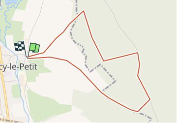

12,9 km | 15,3 km-effort

Benutzer


Kostenlosegpshiking-Anwendung
 SityTrail
IGN / Geografische Institute
SityTrail World
Die Welt öffnet sich für Sie
Tour Wandern von 4,5 km verfügbar auf Normandie, Seine-Maritime, Torcy-le-Petit. Diese Tour wird von crocheval vorgeschlagen.
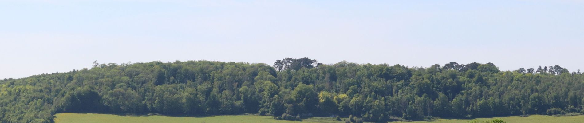
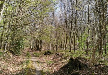
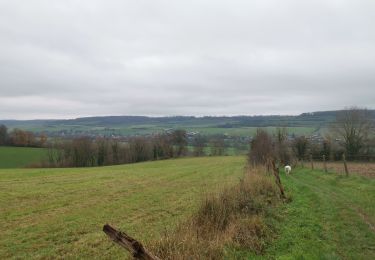
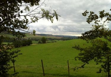
Super balade, bien ombragé. Incursion dans la forêt domaniale, pour mieux découvrir la vallée de la varenne, ainsi que Torcy par une vue extraordinaire des étangs et des alentours.


Wandern
Wandern

Mountainbike

Wandern
Wandern
Wandern
Wandern
Radtourismus
Wandern