


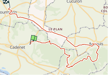

12,1 km | 15,3 km-effort


Benutzer


Kostenlosegpshiking-Anwendung
 SityTrail
IGN / Geografische Institute
SityTrail World
Die Welt öffnet sich für Sie
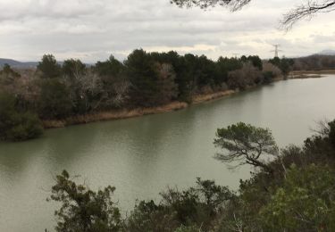
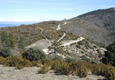
Tour Mountainbike von 23 km verfügbar auf Provence-Alpes-Côte d'Azur, Vaucluse, Cadenet. Diese Tour wird von DG01 vorgeschlagen.
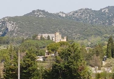
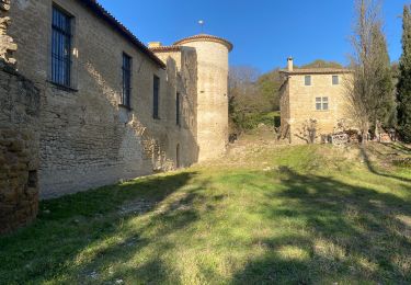
Depuis château de Cadenet, jusqu’au massif sud qui surplombe Ansuis.
Retour par la route par manque de temps!!
Wandern

Mountainbike

Wandern
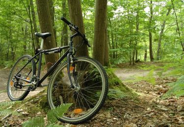
Mountainbike

Wandern
Wandern
Wandern
Wandern
Wandern