


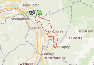

7,7 km | 28 km-effort


Benutzer


Kostenlosegpshiking-Anwendung
 SityTrail
IGN / Geografische Institute
SityTrail World
Die Welt öffnet sich für Sie
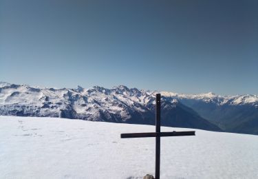
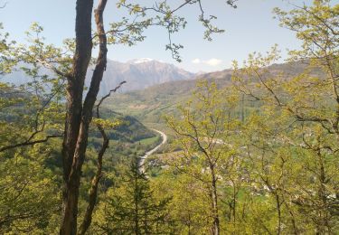
Tour Wandern von 11,1 km verfügbar auf Auvergne-Rhone-Alpen, Savoyen, Val-d'Arc. Diese Tour wird von jibebouvier vorgeschlagen.
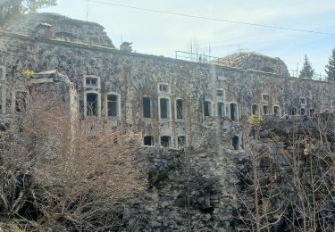
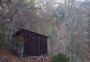
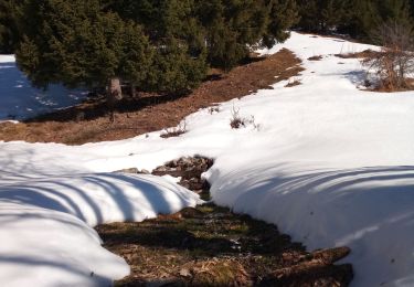
l'aller par le chemin habituel, le retour, en fait le chemin n'existe plus, ligne électrique qui touche terre, ronciers etc...
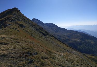
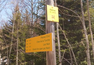
soit redescendre par le même chemin soit par le chaudron puis Argentine

Wandern
Wandern
Wandern
Wandern
Wandern
Wandern
Wandern
Wandern
Wandern