


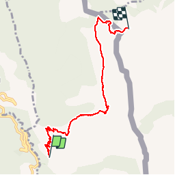


8,1 km | 14,4 km-effort


Benutzer


Kostenlosegpshiking-Anwendung
 SityTrail
IGN / Geografische Institute
SityTrail World
Die Welt öffnet sich für Sie
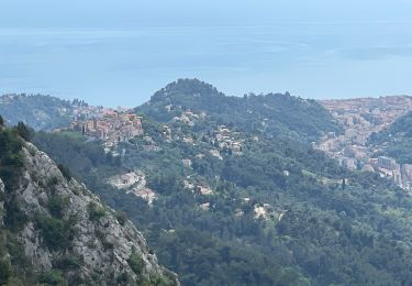
Tour Wandern von 7,2 km verfügbar auf Provence-Alpes-Côte d'Azur, Seealpen, Castellar. Diese Tour wird von PEBREJOSIANE vorgeschlagen.
Aller simple
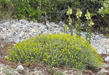
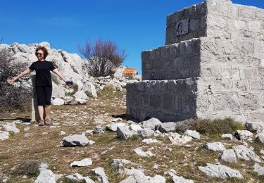
Au départ de la route de Castellar (premier embranchement après Monti)
On pourra revenir par le même chemin, ou passer versant Italien


Wandern
Zu Fuß
Wandern
Wandern

Wandern
Wandern
Wandern
Wandern

Zu Fuß