


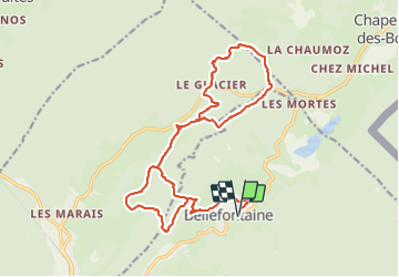

15 km | 21 km-effort

Benutzer


Kostenlosegpshiking-Anwendung
 SityTrail
IGN / Geografische Institute
SityTrail World
Die Welt öffnet sich für Sie
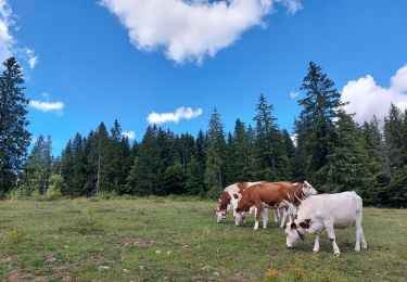
Tour Schneeschuhwandern von 22 km verfügbar auf Burgund und Freigrafschaft, Jura, Bellefontaine. Diese Tour wird von zefreefly vorgeschlagen.
Une Rando qui empreinte différents parcours balisés raquette avec plusieurs variantes possibles.
très agréable sans trop de dénivelé.


Wandern

Wandern

Hybrid-Bike
Wandern
Wandern
Wandern
Wandern
Wandern
Wandern