


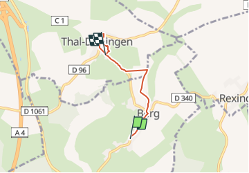

4,6 km | 5,4 km-effort

Tous les sentiers balisés d’Europe PRO


Kostenlosegpshiking-Anwendung
 SityTrail
IGN / Geografische Institute
SityTrail World
Die Welt öffnet sich für Sie
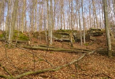
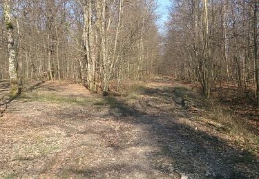
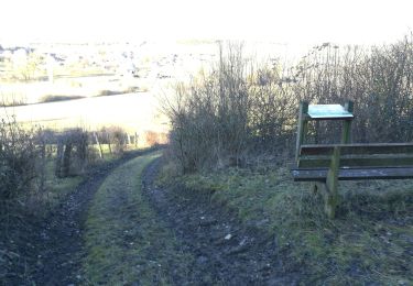
Tour Zu Fuß von 3,3 km verfügbar auf Großer Osten, Unterelsass, Berg. Diese Tour wird von SityTrail - itinéraires balisés pédestres vorgeschlagen.
Trail created by Club Vosgien.
Website: http://www.wanderparadies-wasgau.de/wanderung-berg-kirchberg.php?pk_campaign=osm-kirchberg


Zu Fuß
Reiten

Reiten
Wandern
Wandern

Fahrrad

Fahrrad

Fahrrad
Wandern