


12 km | 15 km-effort


Tous les sentiers balisés d’Europe PRO


Kostenlosegpshiking-Anwendung
 SityTrail
IGN / Geografische Institute
SityTrail World
Die Welt öffnet sich für Sie
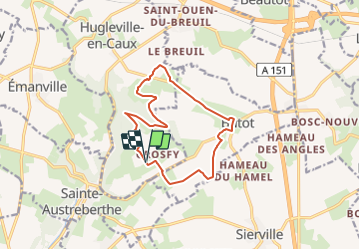
Tour Zu Fuß von 11,6 km verfügbar auf Normandie, Seine-Maritime, Hugleville-en-Caux. Diese Tour wird von SityTrail - itinéraires balisés pédestres vorgeschlagen.
Trail created by Communauté de communes d'Yerville - Plateau de Caux.

Wandern
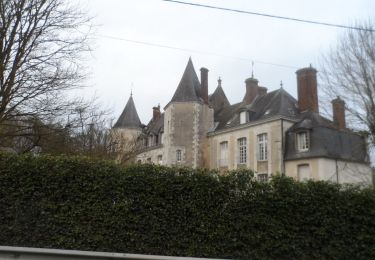
Wandern

Wandern

Wandern
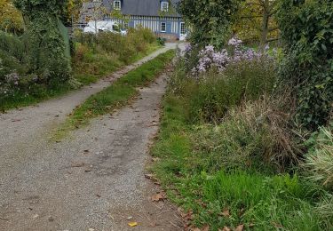
Wandern

Zu Fuß
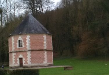
Wandern

Wandern
Wandern