


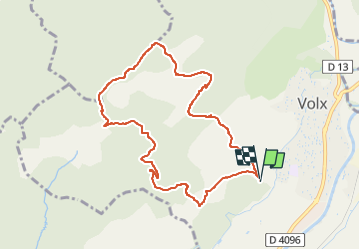

16,2 km | 24 km-effort

Benutzer


Kostenlosegpshiking-Anwendung
 SityTrail
IGN / Geografische Institute
SityTrail World
Die Welt öffnet sich für Sie
Tour Pfad von 9,2 km verfügbar auf Provence-Alpes-Côte d'Azur, Alpes-de-Haute-Provence, Volx. Diese Tour wird von francislassauce vorgeschlagen.
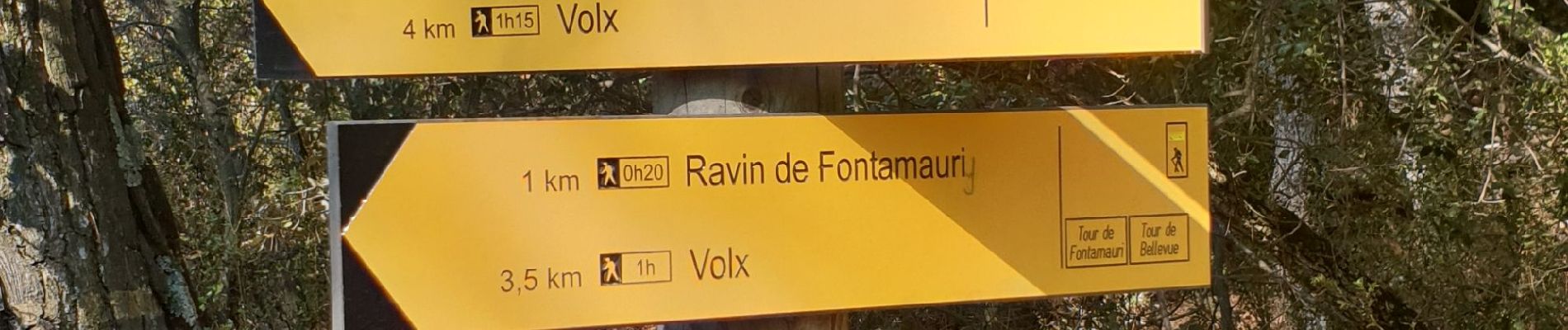
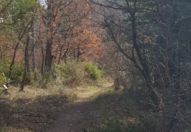
montée sur un single dans les cailloux.
descente plus praticable sur un DFCI.
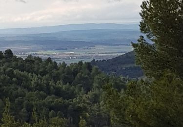
jolie vues au sommet


Mountainbike

Wandern
Wandern
Wandern
Wandern
Wandern
Wandern
Wandern
Zu Fuß