


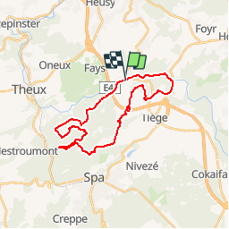


10,8 km | 14,6 km-effort


Benutzer


Kostenlosegpshiking-Anwendung
 SityTrail
IGN / Geografische Institute
SityTrail World
Die Welt öffnet sich für Sie
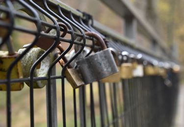
Tour Mountainbike von 24 km verfügbar auf Wallonien, Lüttich, Jalhay. Diese Tour wird von francois58 vorgeschlagen.
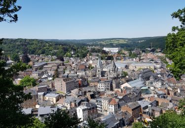
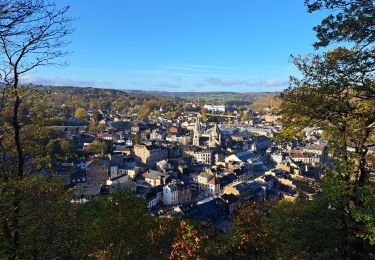
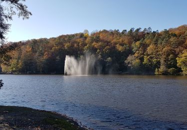
Superbe rando tant par ses paysages que par ses sentes et sentiers - qqs passages un tout petit peu techniques - merci Pierre pour ce beau guidage !

Wandern

Wandern

Wandern
Wandern
Zu Fuß
Wandern
Wandern
Wandern

Laufen