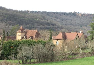
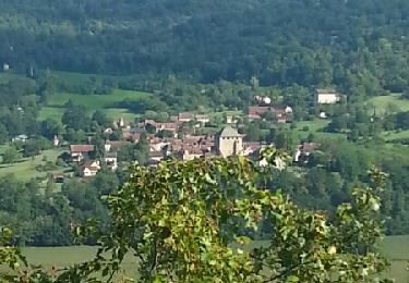
Tour Wandern Villeneuve - septfon - Photo
 gcournac
gcournac

Benutzer

© OpenStreetMap contributors
Länge
Länge
14,9 km
Maximale Höhe
Maximale Höhe
366 m
Positive Höhendifferenz
234 m
Km-Effort
Km-Effort  
18 km
Min. Höhe
Min. Höhe
283 m
Negative Höhendifferenz
234 m
Boucle
Boucle
Ja
Erstellungsdatum :
2022-10-23 08:02:40.717
Letzte Änderung :
2022-10-25 14:50:44.356

(0 Nachricht)

Wandern
Wandern
4h02
Schwierigkeit : Schwierig

Scannen Sie diesen QR-Code, um die Tour in der SityTrail-Anwendung zu öffnen

Kostenlosegpshiking-Anwendung

Logo SityTrail SityTrail

IGN / Geografische Institute

SityTrail aus dem App Store herunterladen SityTrail von Google Play herunterladen

Logo SityTrail SityTrail World

Die Welt öffnet sich für Sie

SityTrail aus dem App Store herunterladen SityTrail von Google Play herunterladen SityTrail auf Huawei AppGallery herunterladen

Über SityTrail

Tour Wandern von 14,9 km verfügbar auf Okzitanien, Aveyron, Villeneuve. Diese Tour wird von gcournac vorgeschlagen.

Beschreibung

belle rando

Höhenprofil

Ort

Land:
France
Region :
Okzitanien
Abteilung/Provinz :
Aveyron
Kommune :
Villeneuve
Standort:
Unknown
Gehen Sie:(UTM)
422366 ; 4925246 (31T) N.

Touren in der Umgebung

Tour Mountainbike Montsalès - VTT boucle  Montsalès - Mas du Causse - Balaguier d'Olt - Photo
Mountainbike
Levillefranchois

Mountainbike

Medium
Montsalès, Okzitanien, Aveyron, France
21 km | 28 km-effort
2h 48min
Ja
Tour Mountainbike Montsalès - VTT Le Mas du Causse - Photo
Mountainbike
Levillefranchois

Mountainbike

Einfach
Montsalès, Okzitanien, Aveyron, France
21 km | 28 km-effort
1h 55min
Ja
Tour Mountainbike Villeneuve - la tour septfonds la bouissiere balaguier foissac prix gelles la tour - Photo
Mountainbike
Gerard_Soulie

Mountainbike

Medium
Villeneuve, Okzitanien, Aveyron, France
29 km | 34 km-effort
2h 23min
Ja
Tour Elektrofahrrad Villeneuve - Villeneuve  - Photo
Elektrofahrrad
jdaviere

Elektrofahrrad

Medium
Villeneuve, Okzitanien, Aveyron, France
34 km | 44 km-effort
3h 38min
Ja
Tour Wandern Foissac - foissac montsalès - Photo
Wandern
faycellesgrandvaltin

Wandern

Sehr leicht
Foissac, Okzitanien, Aveyron, France
13,3 km | 17,8 km-effort
3h 48min
Ja
Tour Mountainbike Montsalès - VTT Montsalès Mounine Ols 21km  2024-01-30 - Photo
Mountainbike
Levillefranchois

Mountainbike

Einfach
Montsalès, Okzitanien, Aveyron, France
20 km | 24 km-effort
1h 41min
Ja
Tour Mountainbike Montsalès - VTT Mntsls Vernet Croix des Belges 40km 1000D+  04 JUIL 2023 Frantz Vincent Mag. - Photo
Mountainbike
Levillefranchois

Mountainbike

Schwierig
Montsalès, Okzitanien, Aveyron, France
39 km | 52 km-effort
3h 36min
Ja
Tour Mountainbike Montsalès - Monsales vtt - Photo
Mountainbike
daniel46100

Mountainbike

Sehr schwierig
Montsalès, Okzitanien, Aveyron, France
39 km | 50 km-effort
2h 34min
Ja
Tour Mountainbike Montsalès - VTT Montsalès 41km 870D+ 2023-03-21 - Photo
Mountainbike
Levillefranchois

Mountainbike

Medium
Montsalès, Okzitanien, Aveyron, France
40 km | 50 km-effort
3h 29min
Ja


Schließen
Meine Abonnements