


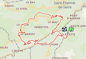

9 km | 15,6 km-effort

Benutzer GUIDE


Kostenlosegpshiking-Anwendung
 SityTrail
IGN / Geografische Institute
SityTrail World
Die Welt öffnet sich für Sie
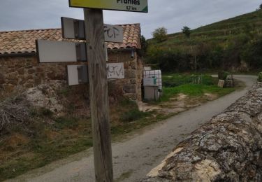
Tour Wandern von 15,4 km verfügbar auf Auvergne-Rhone-Alpen, Ardèche, Pranles. Diese Tour wird von thonyc vorgeschlagen.
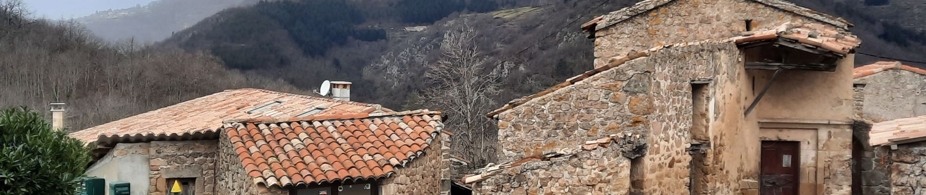
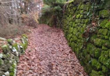
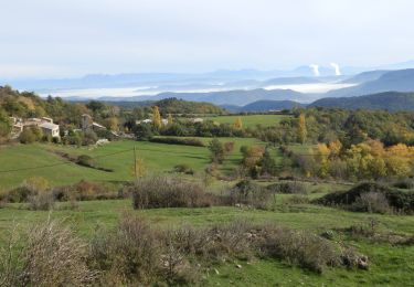
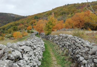
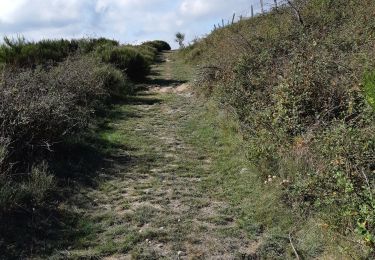
Le charme du hameau, de beaux panoramas, des sentiers variés très agréables.
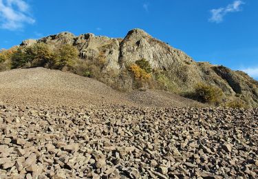
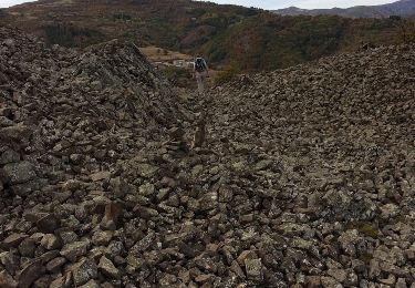
Intérêt géologique avec le volcan de Chirouse, des grés et des orgues basaltiques.


Wandern
Wandern
Wandern
Wandern
Wandern
Wandern

Wandern
Wandern
Wandern