
12,9 km | 14,4 km-effort

Benutzer


Kostenlosegpshiking-Anwendung
 SityTrail
IGN / Geografische Institute
SityTrail World
Die Welt öffnet sich für Sie
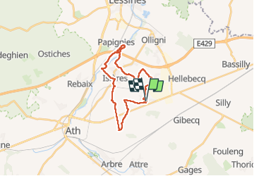
Tour Wandern von 20 km verfügbar auf Wallonien, Hennegau, Ath. Diese Tour wird von jeangulu vorgeschlagen.
Point de départ : École Communale de Meslin-L'évêque, rue Centrale 13 [ 7822 ].
Organisateur : Les Tortures meslinoises - Benoît Delem- 0470 171 108.
Province : Hainaut.
Entité : Ath.
Carte IGN : 38/2
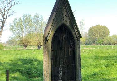
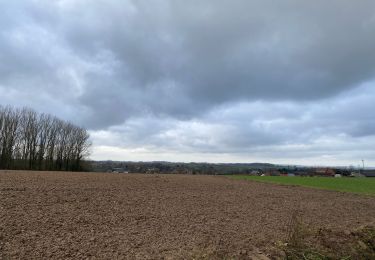
 _ Marche Adeps _ HT_ 12/02/2023 - Photo 1")
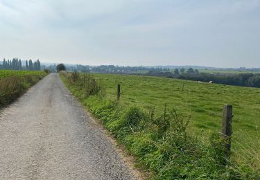
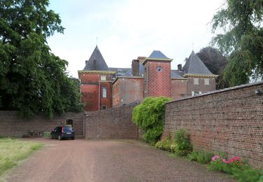
 _ Marche Adeps _ HT_ 12/02/2023 - Photo 2")
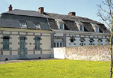
 _ Marche Adeps _ HT_ 12/02/2023 - Photo 3")
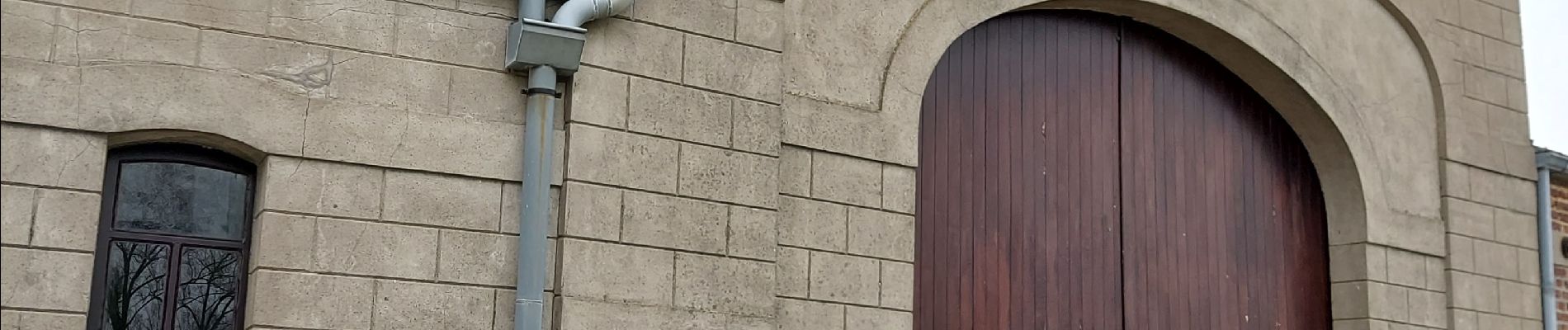
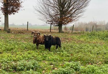
 _ Marche Adeps _ HT_ 12/02/2023 - Photo 4")
Wandern

Zu Fuß
Zu Fuß

Zu Fuß
Zu Fuß

Wandern
Wandern