


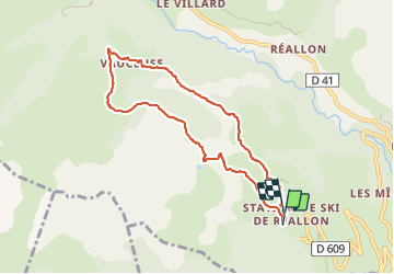

14 km | 25 km-effort

Benutzer


Kostenlosegpshiking-Anwendung
 SityTrail
IGN / Geografische Institute
SityTrail World
Die Welt öffnet sich für Sie
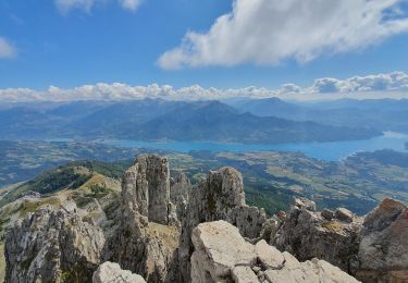
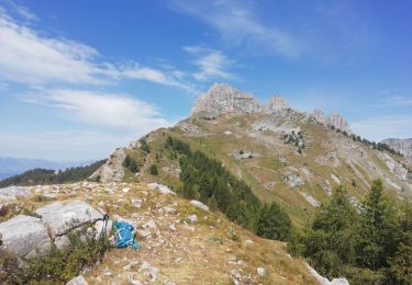
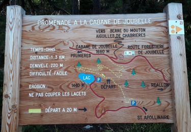
Tour Wandern von 8,1 km verfügbar auf Provence-Alpes-Côte d'Azur, Hochalpen, Réallon. Diese Tour wird von guariso vorgeschlagen.
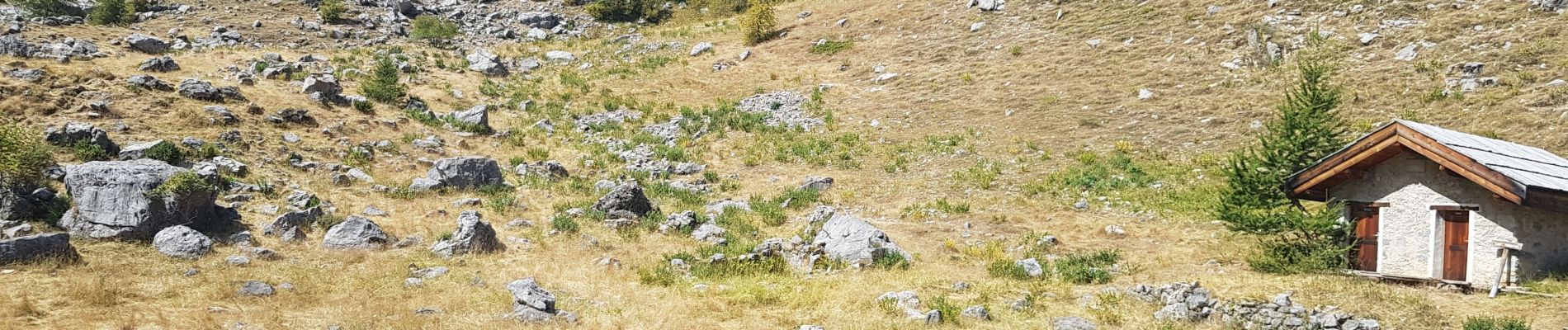
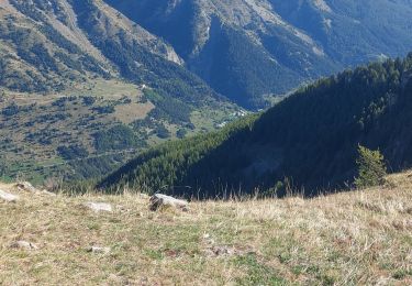
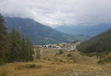
balade très sympa, jolies vues et panneaux pédagogiques. prévoir bonnes chaussures pour le petit tronçon de pierrier au retour.


Wandern
Wandern

Wandern
Wandern
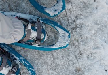
Schneeschuhwandern
Wandern
Wandern

Wandern
Schneeschuhwandern