


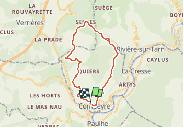

10,3 km | 13,8 km-effort


Benutzer


Kostenlosegpshiking-Anwendung
 SityTrail
IGN / Geografische Institute
SityTrail World
Die Welt öffnet sich für Sie
Tour Wandern von 15 km verfügbar auf Okzitanien, Aveyron, Compeyre. Diese Tour wird von J-Mi vorgeschlagen.
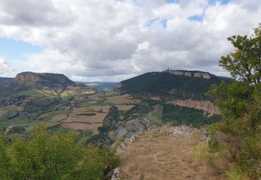
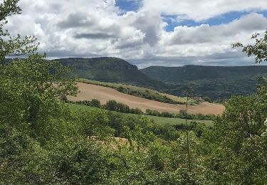
14.5km. Sous un beau soleil autour des châteaux de Cabrieres et de Lugagnac. On ne passe pas au châteaux de Compeyre.
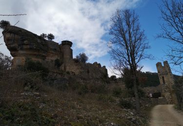
C'est sans doute à cette lointaine époque qu'est né le nom de « Compeyre ». Les hypothèses à propos de ce nom sont variées. La plus simple : « montagne de pierres » qui s'expliquerait par le très grand nombre de rochers sur lesquels est bâti le village.
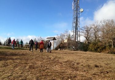
Wandern
Wandern

Wandern
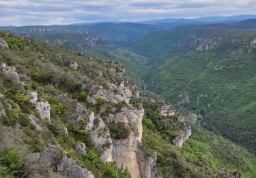
Wandern
Wandern
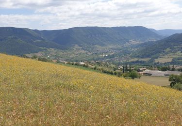
Wandern
Wandern

Wandern