


7,9 km | 9,4 km-effort


Benutzer


Kostenlosegpshiking-Anwendung
 SityTrail
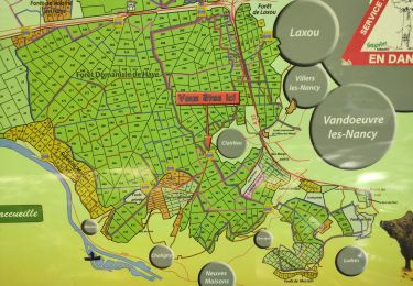
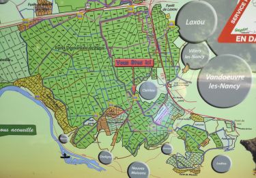
IGN / Geografische Institute
SityTrail World
Die Welt öffnet sich für Sie
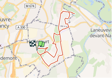
Tour Nordic Walking von 8,8 km verfügbar auf Großer Osten, Mörthe und Mosel, Heillecourt. Diese Tour wird von DanielROLLET vorgeschlagen.
2024 03 16 - MND avec RP54 - 9 participants - 9hàà à 10h55
Temps couvert, quelques gouttes
Un peu trop de piste asphaltée

Zu Fuß

Wandern
Wandern

Wandern
Wandern

Wandern
Wandern

Zu Fuß
Wandern