


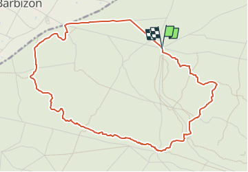


7,5 km | 8,2 km-effort

Benutzer


Kostenlosegpshiking-Anwendung
 SityTrail
IGN / Geografische Institute
SityTrail World
Die Welt öffnet sich für Sie
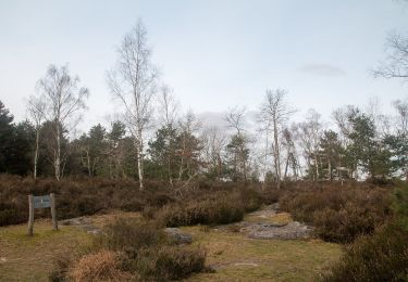
Tour Wandern von 5,2 km verfügbar auf Île-de-France, Seine-et-Marne, Fontainebleau. Diese Tour wird von aubr vorgeschlagen.
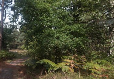
Boucle depuis le Parking du Bas Bréau, Allée des Vaches, Commune de Barbizon.
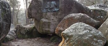
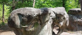
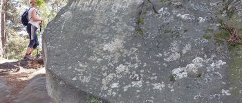
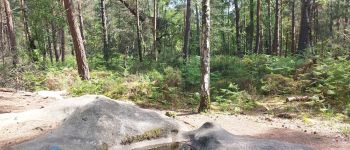
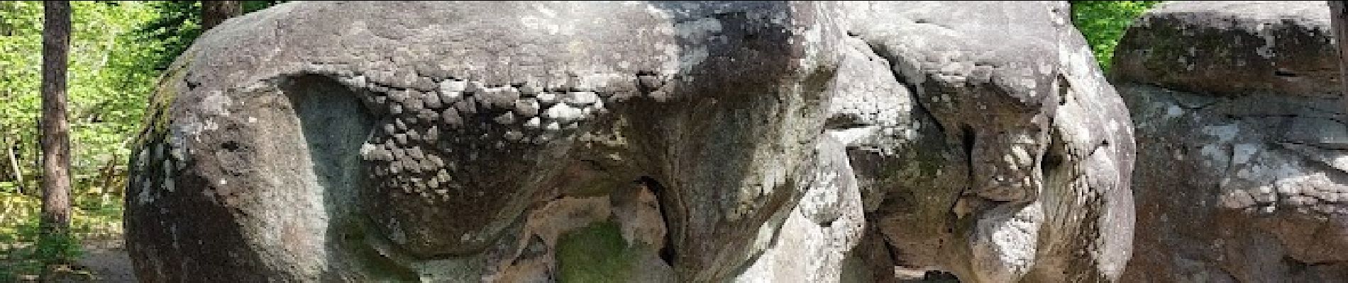
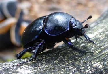
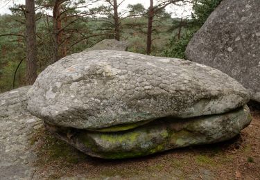
A voir: Chêne Charlemagne, Médaillon Millet et Rousseau, L'éléphant, Grotte Barbizonnière, Points de vue, La caverne des Brigands.


Wandern

Wandern

Zu Fuß
Zu Fuß
Zu Fuß
Zu Fuß
Zu Fuß
Zu Fuß

Wandern
très belle balade