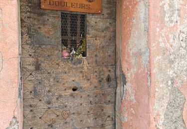
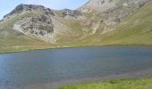
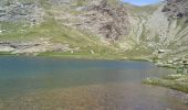
Tour Wandern Aiguilles - les lacs du Malrifs - Photo
 amiral13
amiral13

Benutzer GUIDE

© OpenStreetMap contributors
Länge
Länge
11 km
Maximale Höhe
Maximale Höhe
2740 m
Positive Höhendifferenz
771 m
Km-Effort
Km-Effort  
21 km
Min. Höhe
Min. Höhe
1963 m
Negative Höhendifferenz
772 m
Boucle
Boucle
Ja
Erstellungsdatum :
2015-07-18 00:00:00.0
Letzte Änderung :
2015-07-18 00:00:00.0

(0 Nachricht)

Wandern
Wandern
4h44
Schwierigkeit : Unbekannt

Scannen Sie diesen QR-Code, um die Tour in der SityTrail-Anwendung zu öffnen

Kostenlosegpshiking-Anwendung

Logo SityTrail SityTrail

IGN / Geografische Institute

SityTrail aus dem App Store herunterladen SityTrail von Google Play herunterladen

Logo SityTrail SityTrail World

Die Welt öffnet sich für Sie

SityTrail aus dem App Store herunterladen SityTrail von Google Play herunterladen SityTrail auf Huawei AppGallery herunterladen

Über SityTrail

Tour Wandern von 11 km verfügbar auf Provence-Alpes-Côte d'Azur, Hochalpen, Aiguilles. Diese Tour wird von amiral13 vorgeschlagen.

Beschreibung

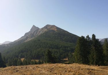
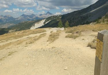
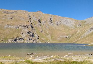
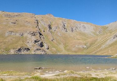
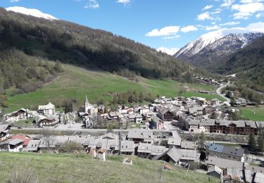
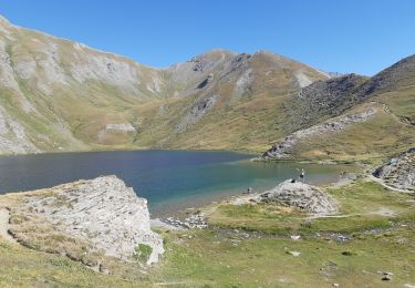
une belle randonnée au milieu des alpages, empruntant un bon sentier qui vous amènera au lac du Grand laus puis au lac Mézan et enfin au Lac du Petit laus.
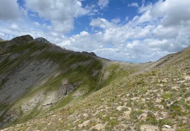
pour les plus courage ils peuvent gravir les 300 mètres les séparant du pic du Malrif.
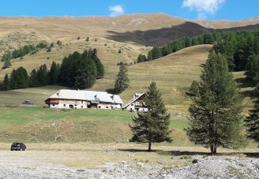
attention, pour se rendre au parking (bergerie du Lombard il faut emprunter une piste de plus de 4 kms à ses risques, la mairie annonce de possibles chutes de pierres et se dégage de toutes responsabilités

Höhenprofil

Foto-Galerie

POIs

POI Aiguilles - le petit Laus - Photo
amiral13
AIGUILLES 
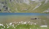
POI Aiguilles - le lac Mézan - Photo
amiral13
AIGUILLES 
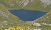
POI Aiguilles - vue sur le grand Laus - Photo
amiral13
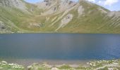
POI Aiguilles - le grand Laus - Photo
amiral13
AIGUILLES 
POI Abriès-Ristolas - le grand Laus - Photo
amiral13
ABRIÈS-RISTOLAS 

Ort

Land:
France
Region :
Provence-Alpes-Côte d'Azur
Abteilung/Provinz :
Hochalpen
Kommune :
Aiguilles
Standort:
Unknown
Gehen Sie:(Dec)
Gehen Sie:(UTM)
331145 ; 4962906 (32T) N.

Touren in der Umgebung

Tour Wandern Château-Ville-Vieille - Queyras j1 - Photo
Wandern
Ninie38MD

Wandern

Medium
(1)
Château-Ville-Vieille, Provence-Alpes-Côte d'Azur, Hochalpen, France
19,1 km | 36 km-effort
8h 6min
Nein
Tour Wandern Château-Ville-Vieille - Ville-vieille - Ceillac - Photo
Wandern
GUIDE
romanceline

Wandern

Medium
Château-Ville-Vieille, Provence-Alpes-Côte d'Azur, Hochalpen, France
17,4 km | 31 km-effort
6h 51min
Nein
Tour Wandern Abriès-Ristolas - Abriès - Aiguilles - Photo
Wandern
GUIDE
romanceline

Wandern

Schwierig
Abriès-Ristolas, Provence-Alpes-Côte d'Azur, Hochalpen, France
16,9 km | 32 km-effort
7h 19min
Nein
Tour Wandern Abriès-Ristolas - Abriès - Aiguilles - Photo
Wandern
GUIDE
romanceline

Wandern

Schwierig
Abriès-Ristolas, Provence-Alpes-Côte d'Azur, Hochalpen, France
16,9 km | 32 km-effort
7h 19min
Nein
Tour Wandern Abriès-Ristolas - Malrif à partir de Abries - Photo
Wandern
Sorriaux

Wandern

Medium
Abriès-Ristolas, Provence-Alpes-Côte d'Azur, Hochalpen, France
9,8 km | 17,1 km-effort
3h 36min
Ja
Tour Wandern Aiguilles - lacs malrif à partir du lombard - Photo
Wandern
francoisBerg

Wandern

Medium
Aiguilles, Provence-Alpes-Côte d'Azur, Hochalpen, France
9,8 km | 19,4 km-effort
3h 45min
Ja
Tour Wandern Cervières - Le Lac des cordes  - Photo
Wandern
Sorriaux

Wandern

Schwierig
Cervières, Provence-Alpes-Côte d'Azur, Hochalpen, France
10 km | 18,7 km-effort
3h 42min
Nein
Tour Wandern Abriès-Ristolas - Pic Malrif - Photo
Wandern
GUIDE
jouans

Wandern

Sehr schwierig
Abriès-Ristolas, Provence-Alpes-Côte d'Azur, Hochalpen, France
19,4 km | 38 km-effort
5h 29min
Ja
Tour Wandern Abriès-Ristolas - J7 Queyras 2022  - Photo
Wandern
ETMU5496

Wandern

Sehr schwierig
Abriès-Ristolas, Provence-Alpes-Côte d'Azur, Hochalpen, France
19,6 km | 38 km-effort
5h 31min
Ja


Schließen
Meine Abonnements