


4,5 km | 6,1 km-effort

Benutzer


Kostenlosegpshiking-Anwendung
 SityTrail
IGN / Geografische Institute
SityTrail World
Die Welt öffnet sich für Sie
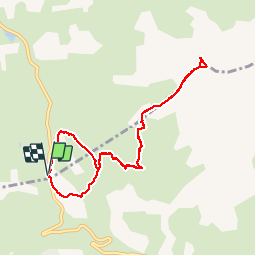
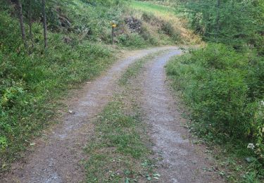
Tour Wandern von 9,4 km verfügbar auf Provence-Alpes-Côte d'Azur, Hochalpen, Vars. Diese Tour wird von yoyolyon vorgeschlagen.
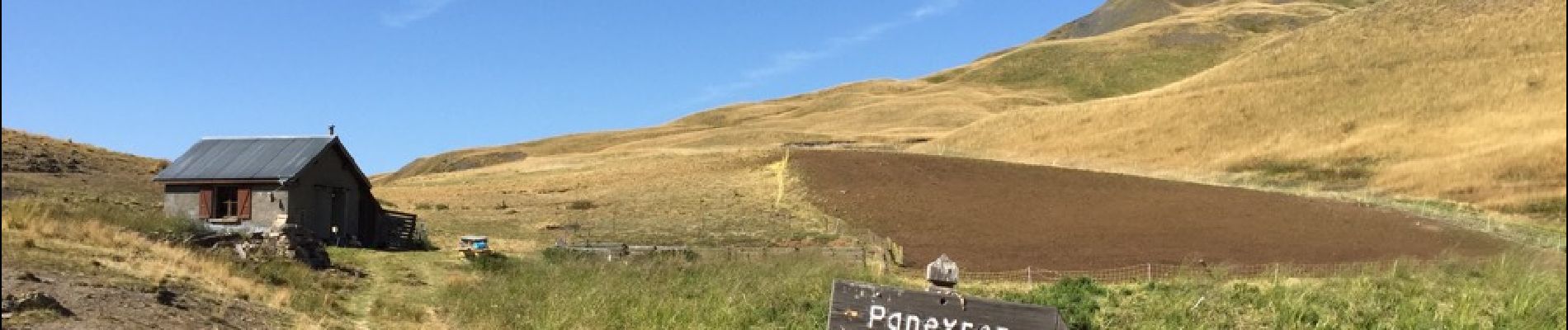
En venant de Vars Les Claux une fois au parking du col de vars prendre le sentier à gauche du refuge jusqu'au Paneyron sur 685 m de dénivelé.


Wandern

Wandern

Andere Aktivitäten
Wandern
Wandern
Wandern
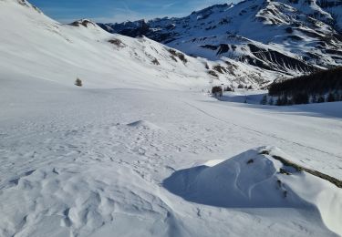
Skiwanderen
Wandern
Wandern