


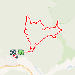


20 km | 29 km-effort


Benutzer GUIDE


Kostenlosegpshiking-Anwendung
 SityTrail
IGN / Geografische Institute
SityTrail World
Die Welt öffnet sich für Sie
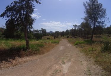
Tour Wandern von 10,2 km verfügbar auf Provence-Alpes-Côte d'Azur, Var, Saint-Raphaël. Diese Tour wird von pascalou73 vorgeschlagen.
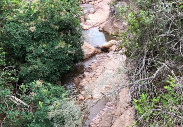
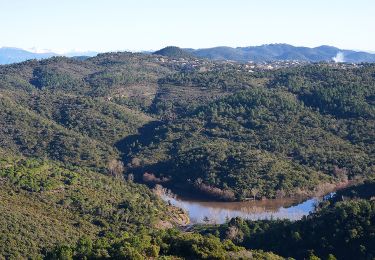
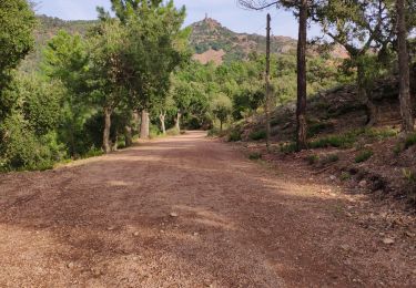
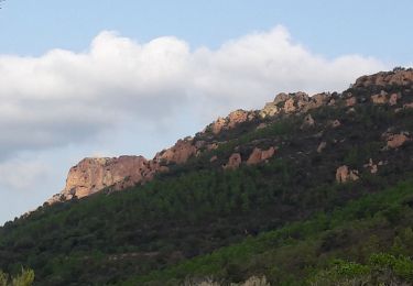
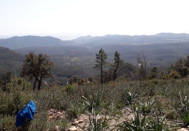
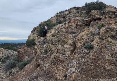
Une rando dans un très beau massif de l'Estérel. Dans le ravin du Bagnotin avec une vue sur le pic du Perthus occidental. Au pont du Perthus vous pourrez voir la ran du perthus (eau). Bonne rando


Wandern
Wandern
Wandern

Mountainbike
Wandern
Wandern
Wandern
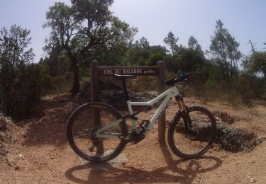
Mountainbike
Mountainbike