


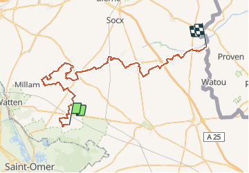

19,6 km | 21 km-effort


Benutzer


Kostenlosegpshiking-Anwendung
 SityTrail
IGN / Geografische Institute
SityTrail World
Die Welt öffnet sich für Sie
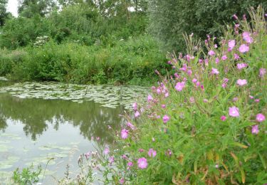
Tour Wandern von 55 km verfügbar auf Nordfrankreich, Nord, Buysscheure. Diese Tour wird von Lecoester vorgeschlagen.
Gr 130 de Buysscheure au quatre extrémités (frontière belge).
Aprés Herzeele avant de traverser le Ruisseau d'Herzeele, possibilité de prendre à gauche pour faire la variante qui mène à Oost-Cappel en passant par Bambecque
Wandern
Wandern
Wandern


sport
Zu Fuß

Wandern

Wandern

Fahrrad

Wandern