


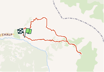

7,2 km | 11 km-effort

Benutzer


Kostenlosegpshiking-Anwendung
 SityTrail
IGN / Geografische Institute
SityTrail World
Die Welt öffnet sich für Sie
Tour Wandern von 10,3 km verfügbar auf Provence-Alpes-Côte d'Azur, Hochalpen, Crévoux. Diese Tour wird von gildascb vorgeschlagen.
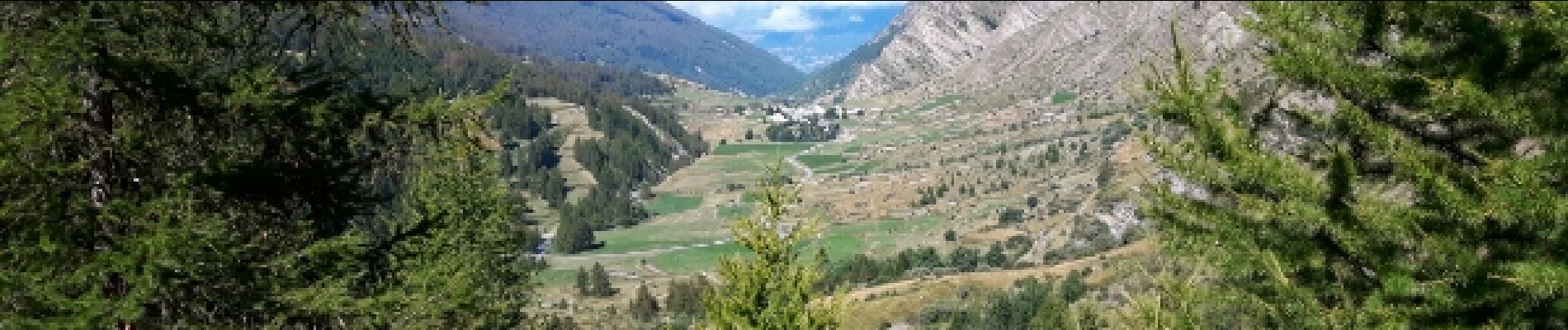
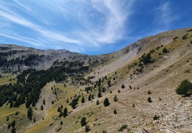
montée vers le lac du Crachet et retour en boucle par chemin de berger. Attention, le chemin de berger est dangereux. bon randonneur exclusivement avec bonnes chaussures de marche sinon risque de chute mortelle


Wandern

Andere Aktivitäten

Wandern
Wandern

Wandern
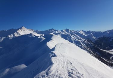
Skiwanderen
Wandern
Wandern
Skiwanderen
vues magnifiques mais le chemin du retour (ch. De berger) est dangereux