


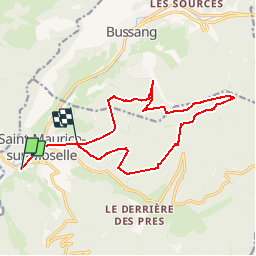


10,5 km | 17,7 km-effort

Benutzer


Kostenlosegpshiking-Anwendung
 SityTrail
IGN / Geografische Institute
SityTrail World
Die Welt öffnet sich für Sie
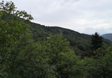
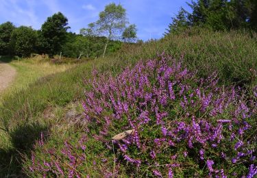
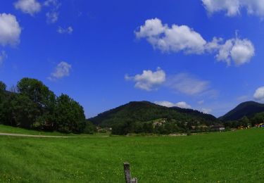
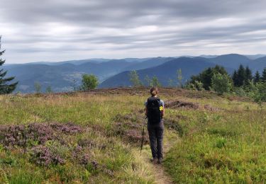
Tour Wandern von 15,4 km verfügbar auf Großer Osten, Vogesen, Saint-Maurice-sur-Moselle. Diese Tour wird von sebii vorgeschlagen.
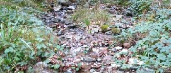
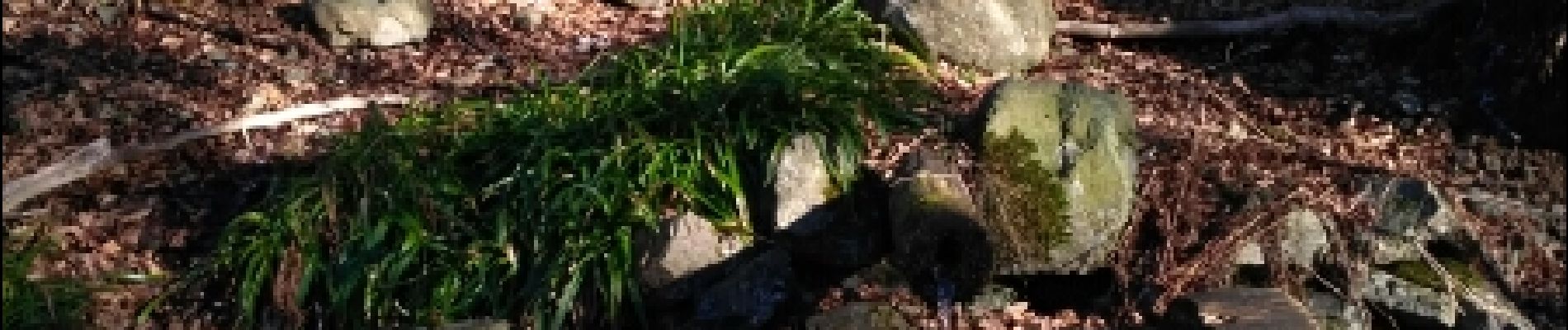
Attention : Le trajet comprend des petits chemins de randonnée pas praticable avec des petits enfants. Les 2 premiers kilomètres ne doivent pas être pris en compte car c'est le chemin de mon chalet à la forêt.


Wandern
Wandern

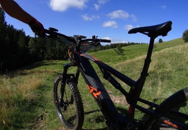
Mountainbike

Mountainbike

Zu Fuß
Mountainbike
Mountainbike
Mountainbike
Wandern