


13 km | 14,9 km-effort


Benutzer


Kostenlosegpshiking-Anwendung
 SityTrail
IGN / Geografische Institute
SityTrail World
Die Welt öffnet sich für Sie
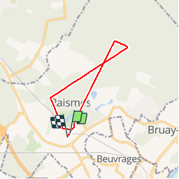
Tour Wandern von 9,2 km verfügbar auf Nordfrankreich, Nord, Raismes. Diese Tour wird von papiou vorgeschlagen.
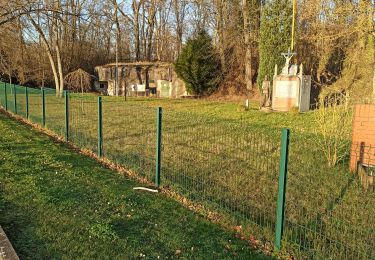
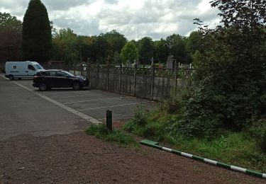
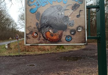
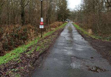
Rdv parking collège Germinal et rejoindre maison de la forêt par club hippique, prendre drève de la princesse jusqu'à étoile de Cernay, poursuivre tout droit drève notre dame pendant 1 Km puis prendre à droite drève pour rejoindre drève de la longue chasse jusqu'au cimetière Vicoigne, prendre à gauche pour revenir point départ par château de la princesse

Wandern
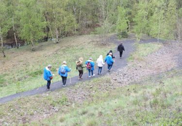
Wandern
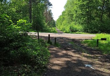
Wandern
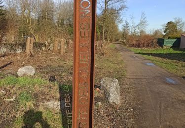
Wandern
Wandern
Wandern
Wandern
Wandern