


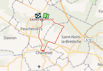


10,7 km | 13,7 km-effort


Benutzer


Kostenlosegpshiking-Anwendung
 SityTrail
IGN / Geografische Institute
SityTrail World
Die Welt öffnet sich für Sie
Tour Nordic Walking von 9,4 km verfügbar auf Île-de-France, Yvelines, Feucherolles. Diese Tour wird von microb vorgeschlagen.
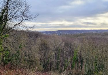
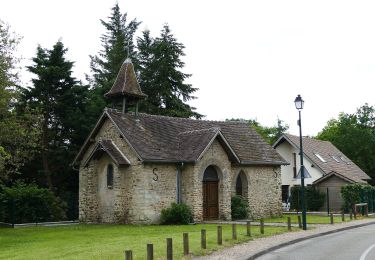
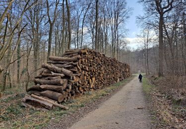
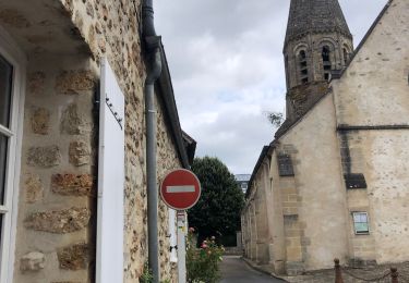
Marche nordique Feucherolles -Chavenay St Nom la Bretèche retour à Ste Gemme par la forêt de Marly


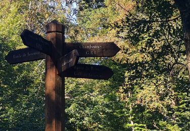
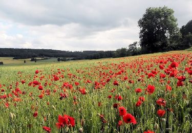
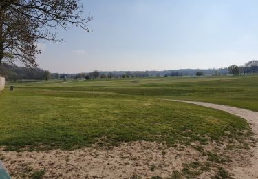
21 Fotos insgesamt. Klicken Sie auf ein Foto, um sie alle in der Galerie zu sehen.
Wandern
Wandern
Wandern

Wandern
Zu Fuß

Wandern
Wandern
Wandern