


9,4 km | 11,7 km-effort


Benutzer


Kostenlosegpshiking-Anwendung
 SityTrail
IGN / Geografische Institute
SityTrail World
Die Welt öffnet sich für Sie
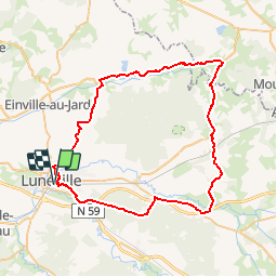
Tour Fahrrad von 60 km verfügbar auf Großer Osten, Mörthe und Mosel, Lunéville. Diese Tour wird von Le_Grand vorgeschlagen.
Sortie vélo vers Parroy et Lagarde et retour par Donjevin et la forêt de Mondon
Wandern
Mountainbike
Mountainbike

Mountainbike
Mountainbike
Elektrofahrrad
Andere Aktivitäten

Mountainbike
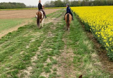
Reiten