


16.3 km | 23 km-effort
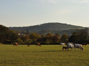
Manzat: Discover the best trails: 3 on foot, 7 walking and 3 nordic walking. All these trails, routes and outdoor activities are available in our SityTrail applications for smartphones and tablets.
On foot


• Trail created by CD63.
On foot
• Trail created by CD63.

Walking
Walking
Walking
Nordic walking

Walking

On foot
Nordic walking
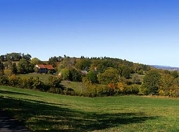
• Cette randonnée est très agréable à faire aussi bien en hiver qu'à la belle saison.
Walking
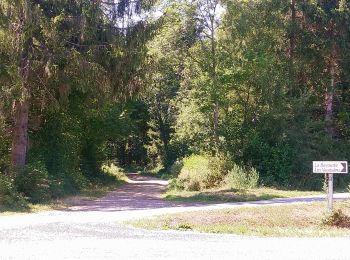
• Boucle
Walking
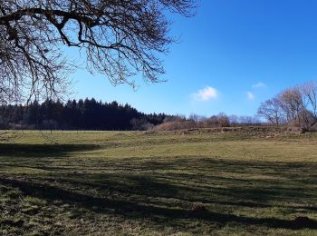
• Très agréable cette petite randonnée alterne bois et pâturages.
Walking
Walking
13 trails displayed on 12
FREE GPS app for hiking
 SityTrail
IGN / Geographical institutes
SityTrail World
The world is yours!