


15.5 km | 19.8 km-effort
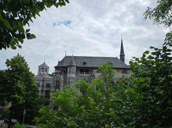
Kornelimünster/Walheim: Discover the best trails: 14 hiking trails and 1 bike and mountain-bike routes. All these trails, routes and outdoor activities are available in our SityTrail applications for smartphones and tablets.
Walking


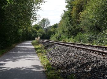
On foot
• vor Ort nicht als "6" gekennzeichnet, wurde wohl lediglich pro forma in das Routennetz aufgenommen Symbol: schwarzer...
![Trail On foot Aachen - [5] Itertalweg - Variante als Rundweg - Photo](https://media.geolcdn.com/t/350/260/ext.jpg?maxdim=2&url=https%3A%2F%2Fmedia.geolcdn.com%2Ff%2F484480c9-a885-4696-8e01-a48866a6fd77.jpeg)
On foot
![Trail On foot Aachen - [1] Kornelimünster - Breinig - Hahn - Photo](https://media.geolcdn.com/t/350/260/ext.jpg?maxdim=2&url=https%3A%2F%2Fmedia.geolcdn.com%2Ff%2Fa06b960d-38ba-42d5-bfd5-7c754ca4689b.jpeg)
On foot
On foot
On foot
On foot
![Trail On foot Aachen - [4] Kornelimünster - Frankenwald - Krauthausen - Photo](https://media.geolcdn.com/t/350/260/ext.jpg?maxdim=2&url=https%3A%2F%2Fmedia.geolcdn.com%2Ff%2F43169eb8-b3a4-47e1-bad7-88598f41fd60.jpeg)
On foot

On foot
• Symbol: Gelbes Kreuz

Cycle
• More information on GPStracks.nl : http://www.gpstracks.nl

Walking
• Rondwandeling vanuit Kornelimünster. Prachtige, eenvoudige wandeling door het groen, langs Iterbach en Inde en het ou...
Walking
Walking
Walking
Other activity
Walking
16 trails displayed on 16
FREE GPS app for hiking
 SityTrail
IGN / Geographical institutes
SityTrail World
The world is yours!