


8.7 km | 18 km-effort
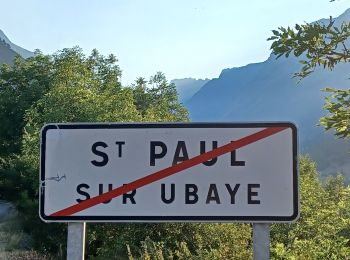
Saint-Paul-sur-Ubaye: Discover the best trails: 254 hiking trails and 8 bike and mountain-bike routes. All these trails, routes and outdoor activities are available in our SityTrail applications for smartphones and tablets.
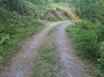
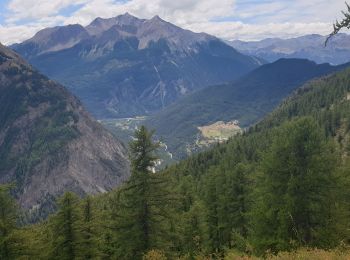
Walking


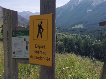
Walking
On foot
• Symbol: red bar on blue background
Walking
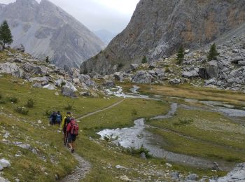
• Se garer vers la cote 1720 à la Blachière sur la route qui monte à Maljasset. Un sentier très raide dès le départ rem...

Other activity
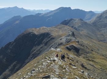
• Jeudi 15 sommet du massour avec bivouac
Walking
Walking
Walking
Walking
Walking
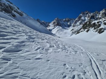
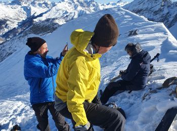
Touring skiing
Snowshoes
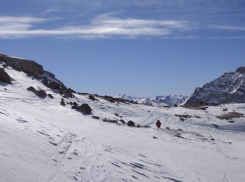
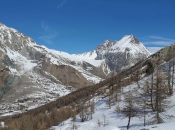
Touring skiing

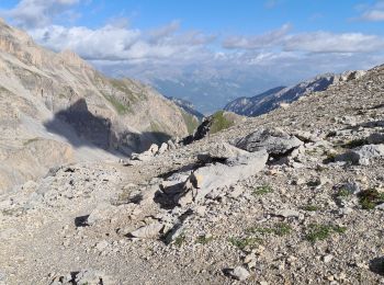
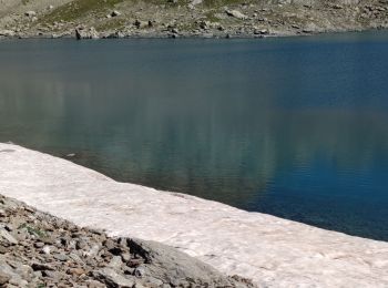
Walking
Walking
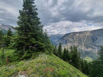
Walking
Walking
Touring skiing
Walking
Walking
20 trails displayed on 327
FREE GPS app for hiking
 SityTrail
IGN / Geographical institutes
SityTrail World
The world is yours!