Mamirolle, Doubs: Best trails, routes and walks

Mamirolle: Discover the best trails: 4 hiking trails. All these trails, routes and outdoor activities are available in our SityTrail applications for smartphones and tablets.


The best trails (5)
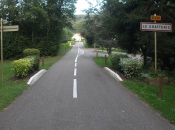
Trail On foot Mamirolle - Sentier du Bois de la Fougère - Photo
On foot 7.338
Km
PRO

On foot

Easy
Mamirolle, Bourgogne-Franche-Comté, Doubs, France
7.3 km | 8.7 km-effort
1h 58min
101 m
102 m
Yes
SityTrail - itinéraires balisés pédestres

• Trail created by Grand Besançon.

Trail On foot Mamirolle - Sentier du Golf - Photo
On foot 8.748
Km
PRO

On foot

Easy
Mamirolle, Bourgogne-Franche-Comté, Doubs, France
8.7 km | 10.4 km-effort
2h 21min
125 m
124 m
Yes
SityTrail - itinéraires balisés pédestres

• Trail created by Grand Besançon.

Trail Walking Mamirolle - Villafans Mouthier haute pierre - Photo
Walking 37.955
Km

Walking

Very easy
Mamirolle, Bourgogne-Franche-Comté, Doubs, France
38 km | 48 km-effort
27h 44min
715 m
763 m
No
MERMOZ33

Trail sport Mamirolle - 2020-10-05_13h37m27_mamirolle - Photo
sport 21.983
Km

sport

Very easy
Mamirolle, Bourgogne-Franche-Comté, Doubs, France
22 km | 30 km-effort
Unknown
578 m
578 m
Yes
gerardmicheline

Trail Walking Mamirolle - Rando Mamirolle - Photo
Walking 13.127
Km

Walking

Difficult
Mamirolle, Bourgogne-Franche-Comté, Doubs, France
13.1 km | 16.9 km-effort
3h 37min
281 m
277 m
Yes
TRIMAILLE

5 trails displayed on 5

FREE GPS app for hiking

Logo SityTrail SityTrail

IGN / Geographical institutes

Download SityTrail from the App Store Download SityTrail from Google Play

Logo SityTrail SityTrail World

The world is yours!

Download SityTrail from the App Store Download SityTrail from Google Play Download SityTrail on Huawei AppGallery

Activities

Close
My subscriptions